Alexander Lukin
Elementy, w których Alexander Lukin attends
piątek 4 marca, 2022
In this short technical demonstration, I’ll explore some of the ways that Planetscope’s new 8-band capabilities can be used to both detect and monitor invasive plant species, such as Watermoss-Salvinia, within water bodies. We’ll focus on the role that the 4 new spectral bands (Coastal Blue (433-453nm) , Yellow (600-620nm), Green-II (547-583nm) and Red-edge (697-713nm)) can have in this use case. I’ll compare how some spectral indices unlocked via 8-band data compare to previous 4-band, RG...
poniedziałek 7 marca, 2022
The world is dynamically changing and so are businesses. By some estimates, 20% of new businesses close within one year of opening. In 2020,
wtorek 8 marca, 2022
Maxar’s WeatherDesk is a mature product platform that has continually evolved to satisfy changing customer requirements. It sets the standard for reliable and accurate weather forecasting through sound attention to science, an intense focus on customer service including 24/7 meteorological and operational support, and optimally solving customer problems. WeatherDesk products elegantly translate weather data into insights and actionable intelligen...
This workshop will use open tools and standards to create STAC compliant data for a Canadian Federal Dataset. The workshop will focus on the nuances of working on Canadian Data in a Cloud environment. It will further demonstrate modern geospatial data science tools to create a SpatioTemporal Asset Catalogue. Sparkgeo will also demonstrate use in leading desktop and cloud mapping software.
środa 9 marca, 2022
The Topobathymetric Lidar Solutions & Applications Workshop presented by NV5 Geospatial is designed to provide a comprehensive overview of topobathymetric lidar in a relaxed, collaborative environment to allow discussion and answer any questions. This interactive, virtual event will review our latest sensor technology, present typical project planning and execution, and provide processing insights to successfully completing and delivering ...
Join us in this training to learn about some of the latest and greatest features in ERDAS IMAGINE! With the exponentially increasing amount of data being collected in the world today, customized repeatable, batchable workflows are needed to extract as much valuable information from raw data as possible. The Spatial Modeler is the key to setting up these types of workflows. The creation of spatial models and the use of AI, machine learning and deep learning allow mo...
czwartek 10 marca, 2022
Taking urgent action to combat climate change and its impacts" is a crucial goal set forward under Goal 13 – Climate Action as part of the United Nations Sustainable Development Goals (SDGs).Climate action requires global efforts related to climate change mitigation – reducing the flow of heat-trapping greenhouse gases into the atmosphere, or enhancing the "sinks" that accu...
Join this session to get the latest information on Maxar foundational products as well as demonstrations and round-table conversation with our subject matter experts. Please bring your questions if you're a current user, or come ready to experience the industry's best satellite imagery for the first time.
piątek 11 marca, 2022
Please join us for the MDA-hosted workshop on multi-band SAR presented by MDA (Canada), Iceye (Finland) and VENG (Argentina). After presenting SAR fundamentals, we will dive deep into the specifications of X-band (Iceye), C-band (RADARSAT-2) and L-band (SAOCOM) missions, as well as the sensors’ merit and strength in specific applications that are of relevance to Canada. The last hour would be Q&As and discussion.
At a time of rising climate change impacts, there is a vital and growing need to prepare for, respond to, and recover from natural disasters. But there is a critical communication gap between authorities, citizens, and communities. Drawing on the ongoing results of our massive multi-year climate change research project, and with assistance from hundreds of students, citizens, academics, NGOs, government officials, and industry partners, Deploy Solutions has identif...
środa 26 kwietnia, 2023
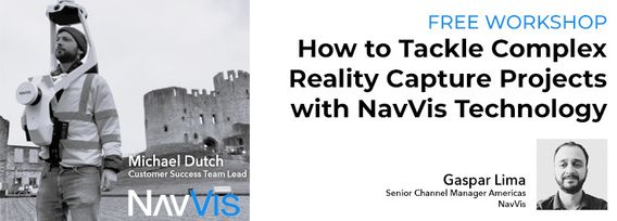
Join NavVis in-house specialists Gaspar Lima, Senior Channel Manager, and Michael Dutch, Customer Success Team Lead, as they discuss how NavVis users successfully deliver complex survey projects by leveraging hybrid terrestrial and mobile laser scanning workflows. Discover how to get the best accuracy and coverage with reduced time on site and lower cost of capture.
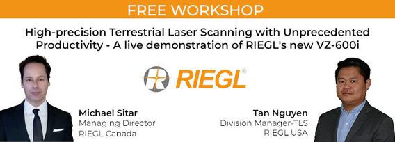
RIEGL's next generation of terrestrial laser scanners are focused on maximizing productivity, simplifying workflow, and improving the overall user experience. Join us as we provide a live demonstration of the features, capabilities and superior performance of RIEGL's innovative VZ-600i terrestrial lidar scanner, a purpose-designed sensor for the collection of engineering-grade data from both static and mobile platforms.

