Dr. Heather McGrath - NRCan - Talk: Flood mapping activities and research at Natural Resources Canada
My Session Status
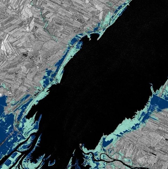
In recognition of the increasing costs and risk due to flooding, the Government of Canada is investing in flood mapping as part of the Government’s commitment to build safer and more resilient communities. Flood maps are critical for the public to understand their flood risks, and the availability of up to date flood hazard maps are key to strengthening the resilience of Canadian communities to overland flooding. Natural Resources Canada (NRCan) has been working in collaboration to advance flood mapping in Canada. Several key projects are underway to this effect, including, the development and publication of the Federal Flood Mapping Guideline Series (which provide guidance on the lifecycle of flood mapping), the creation of a National Flood Hazard Data layer, and supporting the development of a National Risk Profile as part of Canada’s Emergency Management Strategy. Our goal is to encourage and facilitate the sharing of flood maps, flood risk data, and other geospatial data across emergency management stakeholders and to implement a dissemination strategy to share information with the public. By promoting the use of standards and open licensing in geospatial data management, flood mapping projects will benefit from the resulting interoperability of their data and maps and greatly facilitate their use and sharing. In addition to these projects, NRCan researchers are extracting data from new sensors, and developing new methods and techniques in order to help identify risk areas due to flooding and communicate flood risk to stakeholders and the general public.