Gail Robertson
Sessions in which Gail Robertson attends
terça-feira 8 março, 2022
Maxar’s WeatherDesk is a mature product platform that has continually evolved to satisfy changing customer requirements. It sets the standard for reliable and accurate weather forecasting through sound attention to science, an intense focus on customer service including 24/7 meteorological and operational support, and optimally solving customer problems. WeatherDesk products elegantly translate weather data into insights and actionable intelligen...
quarta-feira 9 março, 2022
The Topobathymetric Lidar Solutions & Applications Workshop presented by NV5 Geospatial is designed to provide a comprehensive overview of topobathymetric lidar in a relaxed, collaborative environment to allow discussion and answer any questions. This interactive, virtual event will review our latest sensor technology, present typical project planning and execution, and provide processing insights to successfully completing and delivering ...
sexta-feira 11 março, 2022
Please join us for the MDA-hosted workshop on multi-band SAR presented by MDA (Canada), Iceye (Finland) and VENG (Argentina). After presenting SAR fundamentals, we will dive deep into the specifications of X-band (Iceye), C-band (RADARSAT-2) and L-band (SAOCOM) missions, as well as the sensors’ merit and strength in specific applications that are of relevance to Canada. The last hour would be Q&As and discussion.
quarta-feira 26 abril, 2023
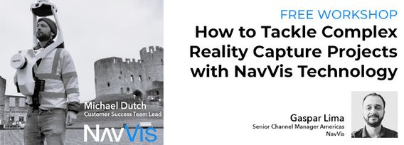
Join NavVis in-house specialists Gaspar Lima, Senior Channel Manager, and Michael Dutch, Customer Success Team Lead, as they discuss how NavVis users successfully deliver complex survey projects by leveraging hybrid terrestrial and mobile laser scanning workflows. Discover how to get the best accuracy and coverage with reduced time on site and lower cost of capture.
Our team of experts will be running the TopoDOT software workshop showing multiple types of applications using Mobile, Terrestrial, Drone and Airborne point clouds. You will learn about the latest feature extraction workflow developments for transportation applications such as corridor topographies, GIS inventories, surface modeling. See the expanding applications of point clouds in engineering grade data analysis such as Wall Displacement, Cross Slope, Volume Calculation, Clearance/Encroa...
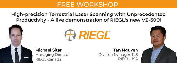
RIEGL's next generation of terrestrial laser scanners are focused on maximizing productivity, simplifying workflow, and improving the overall user experience. Join us as we provide a live demonstration of the features, capabilities and superior performance of RIEGL's innovative VZ-600i terrestrial lidar scanner, a purpose-designed sensor for the collection of engineering-grade data from both static and mobile platforms.
This session will help attendees understand the ability of Trimble Business Center (TBC) as a unique software that can handle different LiDAR data types and merge them with other Surveying datasets towards generating different deliverables.


