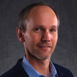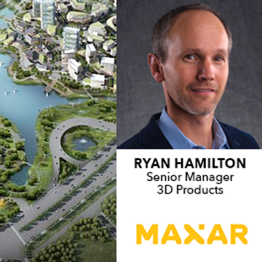
With over 20 years’ experience in geospatial data solutions, Mr. Hamilton joined Maxar in 2014 and is charged with developing the Maxar Elevation Product Suite, offering global high-resolution satellite derived elevation products.
Prior to joining Maxar, Mr. Hamilton developed products and solutions using InSAR and Lidar technologies and has an in-depth understanding of all remote sensing applications used in elevation production
Mr. Hamilton earned his BA from the University of Colorado in Boulder, CO.
Sessions in which Ryan Hamilton participates
quinta-feira 23 julho, 2020
quarta-feira 21 abril, 2021
Maxar is building the highest resolution and most accurate 3D map of the planet and this talk will provide an overview of the products and capabilities that are making it possible.
quinta-feira 10 março, 2022
Join this session to get the latest information on Maxar foundational products as well as demonstrations and round-table conversation with our subject matter experts. Please bring your questions if you're a current user, or come ready to experience the industry's best satellite imagery for the first time.


