Danika McInnis
Sessions in which Danika McInnis attends
terça-feira 29 outubro, 2024
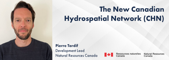
The new Canadian Hydrospatial Network (CHN) is set to replace the National Hydrographic Network (NHN) for Canada. Designed for improved use in hydrological models, the CHN is analysis ready with full-network traversing ability, and value-added attributes such as stream order. The CHN is also created from higher-resolution source data and better aligned to elevation than the NHN, where possible, and has been streamlined for production and maintenance.Work is on-going to refine methods a...
Space, the final frontier. Or is it? Although many people are fascinated by space, most are relatively unaware of how space technologies pervade their everyday life. From global positioning systems (GPS) and satellite communications to weather forecasting and monitoring the health of crops or the extent of sea ice, the standard of living we currently enjoy is fundamentally dependent on satellites and space technology. Space is becoming even more important in monitoring the changing climate, p...
From ancient cave drawings depicting hunting grounds to hand-sketched layouts of backyard gardens, humans conceptualize space through map making. Maps serve both to capture what exists on the landscape and to plan future uses by intentionally defining where specific activities can happen. Modern satellite technology creates geospatial datasets that can contribute to current and proposed land use management planning, all underpinned by the pursuit of the public good.Background
Accurate mapping of road networks is essential for navigation, disaster response, and urban planning. Traditional methods relying on remote sensing images, Lidar data, and GPS trajectories are hampered by time-consuming manual updates and incomplete extraction due to obstructions from trees, buildings, and shadows. However, recent advancements in deep learning models have shown promise in improving road mapping and automating the detection of missing roads.This study uses a transfer le...
For the last five years I have been providing reality capture services to documentary film producers. These series have included NatGeo's Buried Secrets of WWII, NatGeo's Drain the Oceans, Discovery's Expedition Unknown and Expedition Bigfoot. LiDAR, photogrammetry, thermography, magnetometry, and multi spectral imagine all provide context that professional storytellers (TV producers) crave. Join me as I share stories, successes, and failures of these unique service offerings.
The health of the global ocean environment is of critical importance. Planetary limits for climate change and biodiversity are being reached, and unsustainable resource management practices are rampant. Space-based Maritime Monitoring has proven to provide foundational support for sustainable management of ocean resources. In the Keynote, John will provide a high-level overview of ocean problems, space-based maritime monitoring, the beneficiaries and outcomes of the application of...
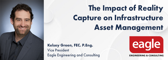
The integration of reality capture technologies—such as LiDAR, photogrammetry, and 3D scanning—into infrastructure asset management is revolutionizing how municipalities and organizations manage and maintain, their assets and deliver services. This presentation will explore the transformative impact of reality capture on the accuracy, efficiency, and overall effectiveness of infrastructure management practices. By enabling effective data collection and visualization, reality capture provides ...
Algal blooms, typically consisting of cyanobacteria which can produce harmful toxins, are a recurring problem on lakes around the world. Although Alberta has long-term sampling programs on selected lakes, monitoring is limited in time and space. Satellite remote sensing offers a way to monitor cyanobacteria blooms across the entire ice-free season and track spatial patterns of bloom development, dynamics, and spread across lakes. The Alberta Biodiversity Monitoring Institute (ABMI), Alb...
Methane is a greenhouse gas that has a global warming potential 80 times greater than carbon dioxide over a 20-year period. Reducing methane emissions from industrial facilities is one of the most effective ways to reduce greenhouse gas emissions. This talk gives an overview of GHGSat’s approach to providing stakeholders actionable data by detecting, geolocating, and quantifying methane emissions using our fleet of space-based and airborne instruments.
In December 2023 a unique gathering of technology and talent gathered on Alcatraz to capture the entire island, inside and out, from the ground and from the air to assist the National Park Service understand the risks seal level rise and climate change present to the island. Join me and, perhaps, other members of the extended team as we share the technology, the experience, and the adventure of this unique experience.
Today, digital twins, autonomy and artificial intelligence (AI) dominate the lexicon of the geomatics industry. These capabilities provide significant productivity advantages to our profession, but our domain content and knowledge are critical to their success. These tools will change the way we work and transform the industry. However, they will not replace us, but rather change our role. This is no different than when the EDM, total station, CAD, or GPS became part of our professional lives...
quarta-feira 30 outubro, 2024
Photogrammetry is not just limited to aerial platforms. Modern mobile devices contain high-quality cameras and increasingly have LiDAR and depth sensors built in. When combined with high-accuracy GNSS systems, these mobile devices can quickly collect accurate data for utilities, infrastructure, inspection, as-builts, construction, and more. Utilizing these readily available devices can reduce project delays, capture better documentation of utilities, and lay the foundations for digital infras...
This presentation delves into two key initiatives underway by buildingSMART Canada: The Digital Transformation for Bridges and a Digital Construction Platform at the National Research Council of Canada. A "Digital Transformation for Bridges Workshop," organized by buildingSMART Canada to unify bridge asset owners across federal, provincial, and municipal levels. The need to overcome the challenges in integrating dive...
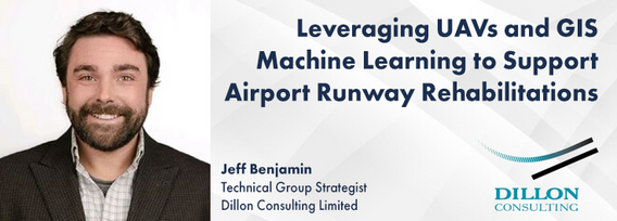
Dillon was retained by the Government of Nunavut to perform a Needs Assessment for the rehabilitation of the Runway 13-31, Taxiway A (Alpha), Taxiway C (Charlie), Apron A, and Apron C of the Rankin Inlet Airport.The project included pavement rehabilitation and geotechnical investigations for Runway 13-31, which is a 6000’ x 150’ asphalt paved runway, along with Phase I ...
Reduced snowpack in the Rockies presents a severe drought risk for Southern Alberta. Mountain snowmelt in the Bow and Oldman basins maintains reservoir levels, crop irrigation, municipal and industrial supply, and ecosystem services. As climate and consumption pressures increase, accurate snow water equivalent (SWE) data is crucial for water supply forecasts, which impact allocations and emergency drought measures. Field snowpack monitoring does not provide accu...


