Giorgos Chalaris
Sessions in which Giorgos Chalaris attends
quarta-feira 14 abril, 2021
Join Jonathan Murphy, Chair of GeoIgnite and Canada's Geospatial Career Coach as we welcome our keynote Daniel Schulten, MDA's LaunchPad Director. Keynote: In this discussion, we will look at MDA's past 20 years of success in the Geointelligence and Earth Observation domain and look forward to what the next 20 years holds for us.We will specifically look at Canada's unique Geointelligence requirements and the impact it will have on the industry here in Canada as w...
Jonathan Murphy the Geospatial career coach and GeoIgnite conference chair will discuss some strategies when apllying for jobs online and share some jobs for participants to consider.
The GeoIgnite Conference and our sponsors are proud to present the third annual Diversity in Leadership Panel.As the common goals of diversity, equity, and inclusion become even more widespread, organizations have the daunting task of figuring out what works.It is our vision that GeoIgnite will spur the grassroots of a more diverse ecosystem where diversity of thinking and knowledge will ignite innovation and better outcomes for us all.The next generation o...
quarta-feira 21 abril, 2021
Join us for the the launch of GeoIgnite with Jonathan Murphy, the Chair of GeoIgnite, and Dr. Minda Suchan of MDA.Abstract of MDA Keynote: Canada is the world leader in wide area space-based radar Earth observation through the highly successful RADARSAT program, supporting numerous operational and scientific uses for Synthetic Aperture Radar (SAR) data. MDA, in conjunction with the Canadian government, has created an internationally recognized brand and reputation for...
The Canadian Centre for Mapping and Earth Observation (NRCan) continues its work to implement the National Elevation Data Strategy. Through this strategy, one of NRCan's goal is to provide Canadians with an accurate three-dimensional representation of the country, in support of government priorities such as flood mapping. Because of the enormous task of obtaining a high-precision and up-to-date national elevation layer, NRCan works with different entities.The data coverage of the st...
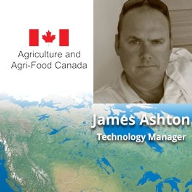
Explore the structure of an enterprise location intelligence platform at Agriculture Agri-food Canada and how they created a strategic road map to systematically diagnose strengths and weaknesses to drive the use of location intelligence in everyday program and policy decisions of a federal department.Agriculture and Agri-Food Canada supports the Canadian agriculture and agri-food sector through initiatives that promote innovation and competitiveness.
Title: Advancing Space Based Observation in Canada:The GeoIgnite 2021 Directors General Geospatial Panel, part of Canada's National Geospatial Conference.Title: Advancing Space Based Observation in CanadaThis is a must attend panel for anyone interested in learning the direction Canada's Federal government geospatial leadership is taking.Join our panelists for an exploration of Canada's geospatial priorities and mission in this exciting discuss...
terça-feira 1 março, 2022
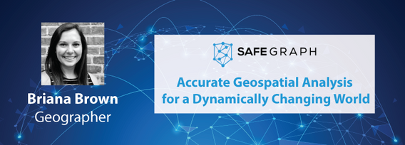
Abstract: Organizations are increasingly relying on geospatial analysis to power their decision making and business processes. But in such a dynamically changing world, maintaining an accurate database of critical locations is no small task. Everyday worldwide, businesses open and close, change names, or update their operating hours. When these changes happen, any map, application, or model immediately becomes stale. How can organizations strategize if they are not...
quinta-feira 3 março, 2022
Sree, the CEO of NeoGeoInfo will give a brief introduction of the organization along with our focus on 3D Data, Sub Surface Utility Detection (GPR surveys). NeoGeoInfo had been continuously investing in latest data acquisition techniques and equipment. Our proficiency in Data Processing using DL/ ML or other Cognitive technologies is unmatched. We adopt to the customer technology stacks and provide the best solution possible for application development. Sree will announce NeoGeoInfo' plans...
quarta-feira 9 março, 2022
Join us in this training to learn about some of the latest and greatest features in ERDAS IMAGINE! With the exponentially increasing amount of data being collected in the world today, customized repeatable, batchable workflows are needed to extract as much valuable information from raw data as possible. The Spatial Modeler is the key to setting up these types of workflows. The creation of spatial models and the use of AI, machine learning and deep learning allow mo...

