Jocelyn Rodriguez Mendoza
Sessions in which Jocelyn Rodriguez Mendoza attends
الثّلاثاء 26 مارس, 2024
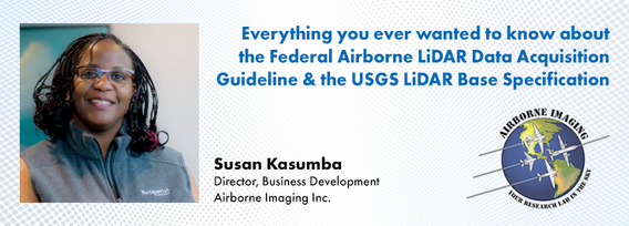
The Canadian government first formally created LiDAR Guidelines in 2017. The document was updated in 2022 to Version 3.1. This session will review the Canadian Guidelines and compare them to the USGS LiDAR Base specification, updated in 2023. Included in the presentation will be:LiDAR for Flood Mapping and funding from the National D...
As traditional infrastructure design methods migrate from 2D to 3D modeling, LiDAR data acquisition continues to present an opportunity to improve the base modeling process. This presentation will show how TopoDOT can be used to extract DGN vector data from point clouds to improve the quality of digital as-built base models which enable better transportation 3D design processes like Bentley’s ORD.
الأربعاء 27 مارس, 2024
The United States’ National Geodetic Survey (NGS) plans to modernize their National Spatial Reference System (NSRS) in 2025, including adopting a new dynamic geometric reference (the North American Terrestrial Reference Frame of 2022 (NATRF2022)) and a new geoid-based height system (the North American-Pacific Geopotential Datum of 2022 (NAPGD2022)). To ensure continued geospatial referencing compatibility, the Canadian Geodetic Survey (CGS) plans to modernize the Canadian Spatial Reference Sy...
الإثنين 13 مايو, 2024
This workshop will introduce you to the ENVI Ecosystem, a powerful suite of tools for processing and analysing remotely sensed data. We'll focus on its applications for using hyperspectral, multispectral, and SAR data to monitor climate change indicators like:- Vegetation Health- Deglaciation- Greenhouse Gas Emissions- Land Cover Change- Shoreline ErosionWe will also demonstrate how to leverage ENVI’s AI-powered Deep Learning tools to automate the extraction of a...
الأربعاء 15 مايو, 2024
Utilities, telecoms and municipalities are faced with increasing pressure to build infrastructure faster to meet the demands of new provincial legislature. The building broadband, transit and new homes faster acts were enacted to support the ever increasing needs of Canadian population growth from immigration. Learning how to securely faciliate the expansion of utility services required to meet the needs of a growing population is something that all utility, telecom and municipal ...
Embark on a dynamic exploration of governance fundamentals at the Mastering Governance: Building Strong Foundations session. In the current complex and rapidly evolving business environment, implementing effective governance practices are foundational to guiding organizations toward sustainable growth and resilience.Effective ...


