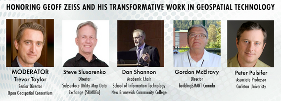
As a specialist in geomatics and cartography, Professor Pulsifer's research addresses questions related to the use of geographic information with a particular focus on supporting interoperability: the ability of (geographic) information systems to readily share information and operations. He prioritizes consideration of sharing across differences in world view, discipline, language, culture, and other types of diversity. These research themes are highly relevant to his focus on community-based research and consideration of the links between Western scientific and Indigenous Knowledge. Peter's research background in mapping small city infrastructure led him to his focus on community-based research. Prof. Pulsifer has led several national and international committees and working and he will use this experience in co-leading this workshop.
Sessions in which Peter Pulsifer participates
Tuesday 14 May, 2024
In the upcoming Canada's National Geospatial Conference, we are delighted to host a special plenary session, "Mapping the Future: Honoring Geoff Zeiss and His Transformative Work in Geospatial Technology," on May 14th in Ottawa. This session is dedicated to celebrating the remarkable contributions of Geoff Zeiss to the fields of mapping, utilities, and Geographic Information Systems (GIS).Geoff Zeiss, renowned for his insightful blog...


