Sarah Andrews
Sessions in which Sarah Andrews attends
Monday 12 May, 2025
This open forum invites all attendees to engage in discussions on Canada’s path toward greater self-reliance in the geospatial sector, particularly in light of emerging trade conflicts, including the recent U.S. tariffs, and evolving global geopolitical shifts. The forum will explore strategies to strengthen Canada’s technological capabilities and reduce reliance on external sources, with a focus on fostering innovation, security, and growth.
Join us for a thought-provoking lunchtime discussion where we explore the evolving landscape of Canada’s geospatial industry while enjoying a delicious meal.The concept of Two Solitudes has long symbolized the cultural and linguistic divide between English and French Canada, but how does this idea still resonate within our geospatial ecosystem to...
Join us for the OGC Canada Forum! We’ll dive into key topics like the Canadian Geospatial Data Infrastructure (CGDI) and how Building Information Modeling (BIM) integrates with Geographic Information Systems (GIS). This event gathers experts from industry, academia, Indigenous organizations, and government to explore these technologies' impact on Canada’s built environment. We'll also cover how OGC standards boost interoperability and innovation. All Canadian organ...
📅 Date: Monday, May 12, 2025📍 Location: Rainbow Bistro, 76 Murray Street, ByWard Market, Ottawa⏰ Time: Networking at 6:30 PM | Panel begins at 7:00 PM | Live music to follow🍽 Details: Cash bar and hors d’oeuvres provided Event OverviewJoin us for an evening of high-level discussion, networking, and live music in the heart of Ottawa’s historic By...
Tuesday 13 May, 2025
Mini Continental BreakfastGeoIgnite is delighted to offer a selection of chilled fruit juices, freshly baked croissants, muffins, and breakfast pastries, served with butter and preserves. Guests can also enjoy fruit cocktails and yogurt. Available beverages include coffee, tea, and decaffeinated coffee.
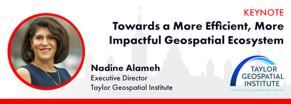
For decades, Canada’s geospatial ecosystem has thrived on deep integration with the U.S., benefiting from shared technology, markets, and collaboration. But today, shifting geopolitical and economic realities—trade conflicts, supply chain vulnerabilities, and data sovereignty concerns—are forcing us to rethink this reliance. The question is no longer whether we should adapt, but how.
Dr. Nadine Alameh, the inaugural Executive Director of the Taylor Geospatial Institute, has been leading an ambitious effort to accelerate geospatial research for tackling today’s biggest challenges—climate, disasters, health, and national security. In this session, she will reflect on what it takes to build a truly impactful geospatial ecosystem, challenge assumptions about the roles of national mapping agencies, academia, and nonprofi...
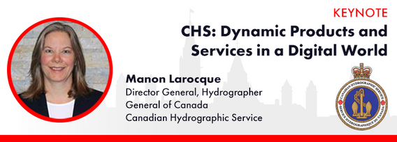
The Canadian Hydrographic Service (CHS) is Canada's agency for charting Canadian waters. Canada has the longest coastline of any country in the world, with more than a third of its territory under water. As a maritime nation, global maritime transport traffic is significant. Hydrography supports safe navigation and shipping through the production of nautical charts and other publications including water levels. With opportunities provided by emerging technologies and the move to e-navig...
GET YOUR TICKETSMORE PURCHASING OPTIONSPCL-EllisDon use the latest technology available to streamline processes, provide the project teams with accurate data ...
Enjoy a satisfying lunch inspired by classic Italian flavors. Begin with artisanal garlic focaccia and a classic Caesar salad with creamy dressing, croutons, and bacon bits. A medley of olives and marinated mushrooms adds a savory touch.For the main course, enjoy chicken scallopini glazed with a lemon caper sauce, served alongside potato gnocchi in a tomato and basil sa...
A seasoned leader in geomatics and Earth Observation with two decades of experience in the federal government, Eric Loubier has vast expertise in developing and implementing national geomatics and Earth observation strategies. In his talk, Eric will explore the integration of AI with Earth observation, and how this powerful combination is transforming Canada’s approach to addressing critical national issues like climate change, natural resource management, urban planning, and disaster response.
Wednesday 14 May, 2025
Mini Continental BreakfastGeoIgnite is delighted to offer a selection of chilled fruit juices, freshly baked croissants, muffins, and breakfast pastries, served with butter and preserves. Guests can also enjoy fruit cocktails and yogurt. Available beverages include coffee, tea, and decaffeinated coffee.
Presenting the CHN and highlighting how its new features leverage advancements in hydrography to improve both water-related models and their applications to support decision making. The Canadian Hydrospatial Network (CHN) was officially launched this past May, marking a significant milestone in the development of hydrospatial networks in Canada. Over the past year, the network has expanded and grown in importance, positioning itself as a key resource for the future of its field. CHN continues...
Each season the Earth Observation Team of Agriculture and Agri-Food Canada (AAFC) maps crop types of individual fields across Canada. They developed an operational in-house software system to decipher crop types using satellite observations and trustworthy ground information. Multi-temporal optical & SAR data are collected over the agricultural growing regions of Canada. These images are combined with provincial crop insurance data (the most accurate, detailed and complet...
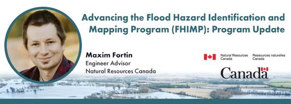
Under the FHIMP, Natural Resources Canada, supported by Public Safety and Environment and Climate Change Canada, collaborates with provinces and territories to create, and disseminate engineering-level flood hazard maps and information. In this presentation, Natural Resources Canada (NRCan) will provide an update on the ongoing work under FHIMP with results of the first stage of the FHIMP (2021-24) and the kickoff of the FHIMP expansion (2023-2028) which will see investments in every jurisdic...
The successful implementation of the S-100 suite hinges on various factors, with final product specification and comprehensive testing of route monitoring layers being paramount. Canada is proposing an international designated area for these tests, underscoring its commitment to the S-100 suite's success and global maritime safety. Canada has selected the St-Lawrence River in Québec as the S-100 sea trial area for 2025. The trial aims to evaluate the S-100 system's ability to ingest and displ...
Natural Resources Canada’s (NRCan) Emergency Geomatics Service (EGS), under the Canada Centre for Mapping and Earth Observation (CCMEO), supports the national and international emergency response efforts by providing rapid disaster mapping services. This presentation will give an overview of the service and highlight examples of how it uses satellite imagery and advanced remote sensing technologies to assess the impact of natural disasters like floods, geohazards, and wildfires, enhancing sit...
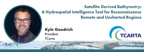
In 1976 the Canadian Hydrographic Service was the first hydrographic agency to recognize and display a satellite-discovered feature on a nautical chart. This was the discovery of Landsat island off the coast of Labrador.In the time since the capabilities of satellites to survey coastal waters have grown exponentially yet the use of satellite based depth information on nautical charts has not. Satellite based surveying offers a multitude of benefits to the safety of operations, empowering ...
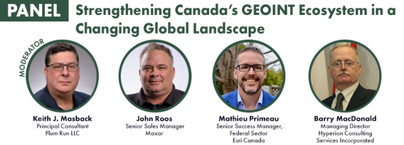
National and international civil emergencies are happening with increasing frequency. Geospatial Intelligence can play a critical role in informing and assisting planners, leaders and first responders in preparing for and conducting for operations during and recovery from emergencies.There is a significant Geo Int capability in the Government of Canada as well as in the provinces and regional/local governments. Unfortunately, this capacity is limited when it comes to the ab...
In a world of constant change and uncertainty, how can we make informed decisions in real-time, grounded in the realities of ambiguity? This presentation tackles these fundamental questions by exploring the evolution of how we understand and interpret our world—from childhood curiosity to professional expertise—and how these insights shape decision-making in complex environments.Using case studies in GEOINT adoption inside and outside traditional national security communities, I will d...
New innovations in hydrography has led to the use of a next generation Uncrewed Survey Vessel for the collection of bathymetric data in Canadian waters. The Canadian Hydrographic Service contracted IIC Technologies to test the suitability of the latest Autonomous Survey Technology in remote locations with challenging weather conditions. The contract required the acquisition of high-resolution bathymetric data in water depths of up to 200m over an 8002km area off of Thunder Bay, Ontario,...
With still about 75% of our ocean still insufficiently surveyed, the hydrospatial challenges ahead are immense - yet so are the opportunities. Join this dynamic panel of LEADERS to hear their vision and insights on the future of ocean, coastal mapping and digital data. The discussion will feature experts in: Hydrospatial Information Systems (HIS/GIS)Satellite-Derived Bathymetry (SDB)In-situ SurveyingResearch & EducationGovernm...
The Canadian Ocean Mapping Research and Education Network (COMREN) is a national group of academic, non-profit, and federal researchers in ocean and coastal mapping. Since 2016, COMREN has focused on developing research activities, technology transfer to industry, and educational programs that support ocean mapping as a network of dedicated individuals. The group partners with government agencies and international organizations to increase Canada’s domestic and global ocean and coastal mappin...


