Matt is a GIS expert with a decade of geospatial experience. Matt's experience lies within managing the digital/GIS portfolio on large infrastructure projects such as ECWE, ABRP and GTAA AFLEC. Matt's client experience range through a wide variety of industries. He also has extensive experience working in telecommunications industry in both Canada and the US. Matt brings an extensive knowledge of GIS, with skills relating to scripting, ETL data analysis, data visualization and data storytelling. Matt is always trying to make processes more efficient and faster and strives to deliver projects that are efficient, productive and of the upmost quality.
Sessions in which Matt Norton participates
Wednesday 14 May, 2025
In this session, we will explore key trends and insights from FEMA's National Flood Insurance Program (NFIP) data for the United States. Using publicly available data from OpenFEMA, we will analyze patterns in flood risk and claims frequency, with a particular emphasis on the impacts of major flooding events such as Hurricane Katrina (2005) and Hurricane Sandy (2012). Through a deep dive into historical claims data, we will uncover trends over time and examine how these significant storms, al...
Sessions in which Matt Norton attends
Monday 12 May, 2025
📅 Date: Monday, May 12, 2025📍 Location: Rainbow Bistro, 76 Murray Street, ByWard Market, Ottawa⏰ Time: Networking at 6:30 PM | Panel begins at 7:00 PM | Live music to follow🍽 Details: Cash bar and hors d’oeuvres provided Event OverviewJoin us for an evening of high-level discussion, networking, and live music in the heart of Ottawa’s historic By...
Tuesday 13 May, 2025
Mini Continental BreakfastGeoIgnite is delighted to offer a selection of chilled fruit juices, freshly baked croissants, muffins, and breakfast pastries, served with butter and preserves. Guests can also enjoy fruit cocktails and yogurt. Available beverages include coffee, tea, and decaffeinated coffee.
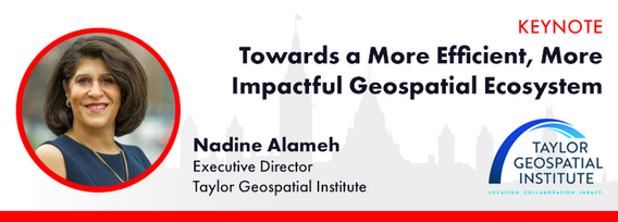
For decades, Canada’s geospatial ecosystem has thrived on deep integration with the U.S., benefiting from shared technology, markets, and collaboration. But today, shifting geopolitical and economic realities—trade conflicts, supply chain vulnerabilities, and data sovereignty concerns—are forcing us to rethink this reliance. The question is no longer whether we should adapt, but how.
Dr. Nadine Alameh, the inaugural Executive Director of the Taylor Geospatial Institute, has been leading an ambitious effort to accelerate geospatial research for tackling today’s biggest challenges—climate, disasters, health, and national security. In this session, she will reflect on what it takes to build a truly impactful geospatial ecosystem, challenge assumptions about the roles of national mapping agencies, academia, and nonprofi...
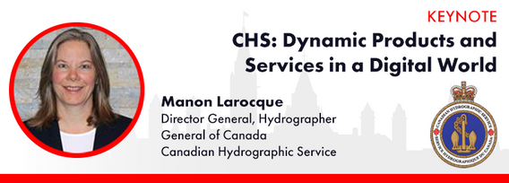
The Canadian Hydrographic Service (CHS) is Canada's agency for charting Canadian waters. Canada has the longest coastline of any country in the world, with more than a third of its territory under water. As a maritime nation, global maritime transport traffic is significant. Hydrography supports safe navigation and shipping through the production of nautical charts and other publications including water levels. With opportunities provided by emerging technologies and the move to e-navig...
In 2006, British mathematician Clive Humby declared that data was the new oil. Soon after there was a significant rush around the world to embrace a data revolution to try and improve humanity’s social, economic and environmental well being. Twenty-years later, the hard work of data continues. Like Canadian oil and gas, it is for the most part – a landlocked asset; unable to push us to the next levels of productivity and innovation. This keynote looks at ...
Artificial Intelligence is transforming how we interpret and act on information—but what does that mean for the geospatial world? As AI models generate synthetic maps, infer locations, and automate analysis, geospatial professionals face a critical moment: will we shape the future, or be shaped by it?In this session, the CEO of the Open Geospatial Consortium (OGC) will explore the complex relationship between AI and geospatial systems—from the risks of black-box models and data halluci...


