Elizabeth Ho
Sessions in which Elizabeth Ho attends
Tuesday 22 March, 2022

Arising 3-D modeling, visualization, and design software (e.g., BIM, VDC) greatly enhance advanced project designs with sophisticated risk analytics and conflict resolutions that accommodate existing infrastructure and enable proactive/predictive engineering and construction. However, without standardized and accurate utility data, new advanced digital project delivery and damage prevention technologies are compromised...


As the world continues to grow and urbanize, new urban infrastructure is being constructed at an unprecedented rate while old world infrastructure is being replaced and upgraded. This has lead to a greater demand for accurate and current utility locating and mapping. This demand is further exacerbated by the fact that infrastructure construction costs continue to rise and the slightest delay or extra cost associated with insufficient utility locating has an...


This presentation will be focusing on the advancement of "Cloud and Mobile" technologies that are currenlty being used to easily and accurately map assets and underground utilities that can be shared, re-located and leveraged thoughout the many project phases.It is critical that data accruacy and integrity is leveraged and accumulated throughout every phase of the BIM procress, creating a live "digital twin" all the way back to t...


Abstract:The total cost of underground infrastructure damage in Canada during excavation work is estimated to be over $1 billion dollars annually. The primary cause of these damage incidents is the lack of reliable information on the location and other information about buried utilities and other infrastructure. The Canadian Underground Infrastructure Register project is intended to improve the current damage prevention process by providing access to reliable data t...


Wednesday 23 March, 2022

In Singapore, almost all utilities are buried underground to free up valuable above ground space for more liveable environment. These underground assets which consist of power cables, telecommunication lines, water pipes, gas pipes and wastewater networks are critical infrastructure that keep our city functioning. Most cities have not been able to keep reliable, complete, and up-to-date maps of their underground utilities due t...


Synopsis: The UK National Underground Asset Register has gone through rigorous pilot and preparation phases and has learned a lot about the data which we will share for 3 regions before a national roll out. However, despite all the best laid plans there will always be exceptions and unexpected scenarios which will need to either be fitted into the data model or have the data model change in order to fit them. The way in which we make these changes could make or break a project like this wh...


Utility and energy buried pipelines represent an extensive underground network covering most of a country's territory. Their precise lateral, horizontal positioning along with their depth of cover is a critical element of any operator's GIS. It enables to deploy more accurate pipeline predictive maintenance models and avoid third party interferences. The latter being identified as one of the main causes of pipeline failures. The 2020 CGA Dirt report states that 3...


A longstanding and unsolved problem for utility companies has been how to keep geospatial network asset data up to date as networks are extended and maintained. Currently, it can take weeks if not months for “as-built” changes to make their way back into the enterprise system of record, typically a geographic information system (GIS). Existing mobile solutions can enable workers in the field to capture data about network asset data updates, but are too time consuming and comple...

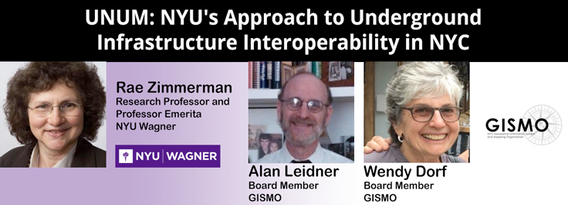
NYU and GISMO's Unification for Underground Resilience Measures (UNUM) is a multi-faceted research initiative aiming to improve our understanding of the city's underground infrastructure assets from the community level through city government and private asset holders. The many activities within the scope of this project include: community collaboration on developing a digital twin of their neighborhood, use of open data to develop an integrated application ...


As one of the oldest American cities, Boston holds a rich history and culture that runs not only through the streets but also beneath them. Many of the large underground infrastructure projects completed between the late 1890s and the late 1920s in Boston are still in use today. The preservation of infrastructure and the insights gleaned from the practices used to create it provide valuable lessons in how to maintain standards of excellen...


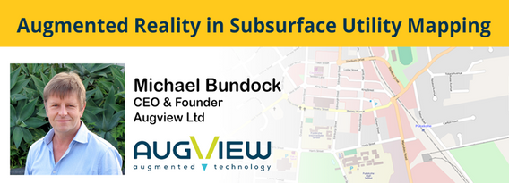
We live in a world where the skill required to interpret maps and engineering drawings is decreasing while the density of underground networks is increasing. The result is increased collateral damage, network outages and poor health & safety outcomes for our field workers.Today, we need better ways to accurately capture and comprehend the location and nature of those networks that are out of site under our feet. AR (Augmented...