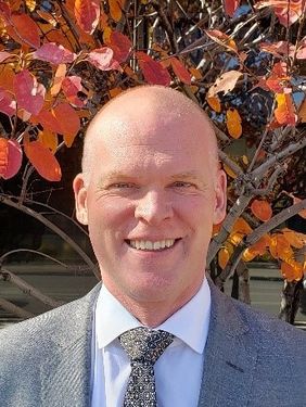
Andrew Brenner is Senior Program Director for Quantum Spatial based in Ann Arbor. He has been in the geospatial arena for over twenty years. His interests are primarily in using geospatial tools to solve people’s problems. To this end he works with imagery, LiDAR, and other sensors to create information that can be integrated with GIS decision making systems.
Andrew supports developing natural resource applications using geospatial technology, covering agriculture, forestry, water and ecosystem management. He ran the GIS and Remote Sensing Research Facility at the School of Natural Resources and Environment of the University of Michigan, Ann Arbor for six years before joining the private sector in 1999. He has worked with federal, state, and local governments and private sector companies for both data acquisition and analysis.
Ph.D. Environmental Physics, Edinburgh University 1991
B.Sc Agriculture, University of Reading, 1986
Sessions auxquelles Dr. Andrew Brenner participe
Jeudi 23 Juillet, 2020
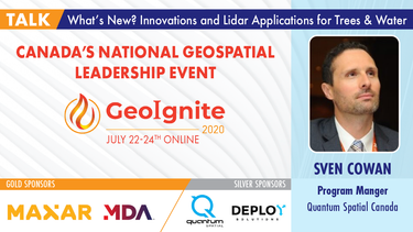
A closer look at some of the lidar-derived innovations for enhanced forestry management solutions and topobathymetric flood mitigation from Quantum Spatial Canada. Presented by Sven Cowan, Dr. Andrew Brenner, and Colin Cooper. Quantum Spatial, Inc., an NV5 company, is one of North America's largest geospatial services firms, providing insights to organizations that need geospatial intelligence to mitigate risk, plan for growth, better manage resources and advance scientific ...
Sessions auxquelles Dr. Andrew Brenner assiste
Mercredi 22 Juillet, 2020
Presented by: Jake Dickinson & John Roos Abstract: As shrinking polar ice creates new opportunities for resource exploration and shipping routes, the importance for Arctic nations to monitor the ongoing expansion in the Arctic is ever increasing. Additionally, climate change continues to impact people and the environment. High resolution satellite imagery remains one of the most effective means of monitoring inaccessible and de...
Space-Based Earth Observation in Canada - A Vision for the Future Today, Canada’s landscape, coasts, waters, and cities are changing rapidly, in a large part due to unstable geopolitical currents and the acceleration of global climate change. Our future economic and environmental security, as well as the safety and well-being of its citizens, depend on our ability to understand, plan, and respond quickly to change. Space-Based Earth Observation (SBEO) technologies ...
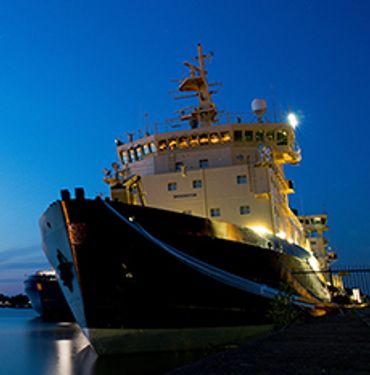
Ocean, Marine & Coastal Hydro(Geo)spatial Management is critical for the Blue Economy. Much knowledge, data, information and coordination are needed for the marine and coastal sector in time of disruption to maintain safe and efficient operations. This session will cover the scientific basis; the detection and the response of Earthquake in the Canadian coastal zone and underwater that could potentially generate ocean coastal flooding & Tsunamis. The session will be a...
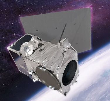
Our next-generation Earth imaging constellation will change everything. We're not just launching more satellites. In 2021, we will deploy WorldView Legion which will provide unprecedented visibility into our changing planet to solve the biggest challenges facing our world today. Grab your favorite beverage and join Maxar for a casual conversation about our next constellation, Legion! Everyone who joins will be entered for a chance to win an IPad!
