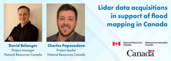
David Bélanger has 25 years' experience in geomatics, and holds a B.Sc. in Geomatics from Université Laval. Over the course of his career, he has been involved in numerous national projects for the acquisition, management and dissemination of geospatial data. He is currently the manager of Natural Resources Canada's National Elevation Data Strategy. This strategy aims to provide Canadians with a detailed three-dimensional representation of the country in support of government priorities.
Sessions auxquelles David Bélanger participe
Mercredi 29 Janvier, 2025
Flooding is the most costly natural disaster in Canada. Although flood hazard maps are essential for understanding a community’s risk to flooding, in Canada, many flood maps are not always available or up to date. High quality flood mapping that is current and accessible will help governments, communities, and individuals understand flood hazards and to implement effective mitigation strategies to reduce their impacts.Since 2021, Natural Resources Canada (NRCan) has been leading the Fl...
Sessions auxquelles David Bélanger assiste
Mardi 25 Avril, 2023
The geospatial industry is at an inflection point thanks in part to the power of LiDAR. In this talk, we will take the audience on a LiDAR journey: from acquisition, processing, analysis, to customer solutions. Data fusion and automation, powered by AI/ML will be key parts of this story.
The Canadian Geodetic Survey provides the Canadian Spatial Reference System Precise Point Positioning service (CSRS-PPP) to support clients requiring accurate GNSS information. The service is used internationally and over 1.2 million GNSS files are now process annually. The CSRS-PPP service has a kinematic mode that is known to support Lidar data collection. Some recent statistics on kinematic services will be presented and expo attendees are invited to provide fee...
Mercredi 26 Avril, 2023
Join NavVis in-house specialists Gaspar Lima, Senior Channel Manager, and Michael Dutch, Customer Success Team Lead, as they discuss how NavVis users successfully deliver complex survey projects by leveraging hybrid terrestrial and mobile laser scanning workflows. Discover how to get the best accuracy and coverage with reduced time on site and lower cost of capture.
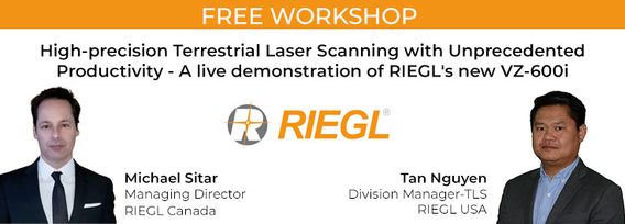
RIEGL's next generation of terrestrial laser scanners are focused on maximizing productivity, simplifying workflow, and improving the overall user experience. Join us as we provide a live demonstration of the features, capabilities and superior performance of RIEGL's innovative VZ-600i terrestrial lidar scanner, a purpose-designed sensor for the collection of engineering-grade data from both static and mobile platforms.
Mardi 26 Mars, 2024
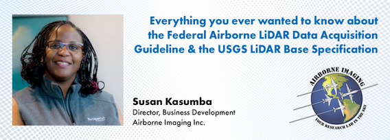
The Canadian government first formally created LiDAR Guidelines in 2017. The document was updated in 2022 to Version 3.1. This session will review the Canadian Guidelines and compare them to the USGS LiDAR Base specification, updated in 2023. Included in the presentation will be:LiDAR for Flood Mapping and funding from the National D...
Canada has just experienced a record wildfire season with devastating impacts. Public safety and damage mitigation is a priority for all impacted by these disasters. From mapping vegetation, analyzing slope stability, planning fire breaks, qualitfiying wood debris and fuel loads, how does LiDAR play a role in meeting post wildfire needs?
Canada’s LiDAR Panel: Future Trends in Service and Tech, is a deep dive into the evolving landscape of LiDAR technology in Canada. Our panel of experts will explore cutting-edge developments in LiDAR, focusing on new trends in service delivery and technological advancements. Expect insights into the integration of AI, enhancements in data processing, and future applications in sectors like urban development and environmental management. This session promises to equip attendees with a forward-...


