Pezhvak Didar
Elementy, w których Pezhvak Didar attends
wtorek 7 listopada, 2023
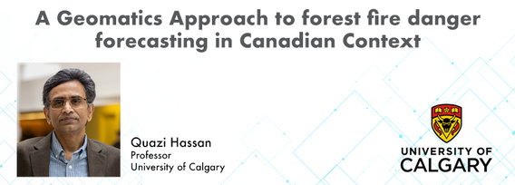
At the Earth Observation for the Environment Laboratory in The University of Calgary, we have been conducting research in developing remote sensing-based forecasting system for forest fire danger conditions since 2009. In the scope of this presentation, the chronology of such developments at daily, 4-day, and 8-day time scales will be discussed. We believe that these would be critical for managing forest fire regimes in Canada and elsewhere in the world.
Addressing the escalating levels of methane in the Earth's atmosphere is among the most urgent issues humanity faces. Methane ranks as one of the most potent greenhouse gases (GHGs), trapping over 25 times more heat than carbon dioxide over a 100-year period; thus, significantly reducing methane emissions will make a substantial impact in the fight against climate change.One of the most impactful methods for mitigating methane emissions involves the prompt detection and repair of metha...
Canada has just experienced a record wildfire season with devastating impacts. Public safety and damage mitigation is a priority for all impacted by these disasters. From mapping vegetation, analyzing slope stability, planning fire breaks, qualitfiying wood debris and fuel loads, how does LiDAR play a role in meeting post wildfire needs?


