Steven Van Berkel
Elementy, w których Steven Van Berkel attends
poniedziałek 28 październik, 2024
Join us at the National Geomatics Networking Reception Enjoy a selection of gourmet hors d'oeuvres, including savoury Moroccan lamb meatballs, smoked pork belly lollipops, and wild mushroom arancini with truffle oil. Vegetarian options like vegetable samosas with mango chutney and goat cheese tartelettes will satisfy all palates. Plus, your ticket includes a drink to enjoy while you connect with industry professionals. Elevate your evening with these delicious bites and great company!
wtorek 29 październik, 2024
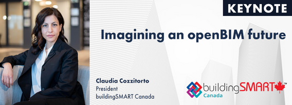
We explore the motivations behind the implementation of openBIM and its integral role in advancing the built asset industry. The built environment is immense and complex, it is also a huge responsibility. Our industry directly impacts it, designing, creating and maintaining it. In an era where what we all need is a better built environment, openBIM stands out as a key enabler. Together we will imagine a future where our industry works more effectively, efficiently and with more c...
How exactly does artificial intelligence work and what can you use it for in the geomatics domain? Using real-life examples from our projects, they demonstrate how you can use AI to gain new insights and increase efficiency by automating your data processing workflows.We explore how GeoAI is fusing spatial data science and Geomatics technology to help automate the extraction, classification, and analysis of all types of spatial or non-spatial data. Learn how GeoAI can detect clusters, ...


