Monday 13 May, 2024
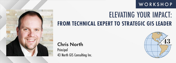
The role of GIS in almost all organizations is evolving from a technical system to an integrative, enterprise-wide capability that provides a unique perspective to solve many business challenges. This half-day workshop is intended to help existing GIS professionals, and those new to GIS in a management position, transition from a technical "What and How" focus on GIS technology to a strategic, value-oriented "Who and Why" mindset around what a GIS can contribute to the organization. The works...
This workshop will introduce you to the ENVI Ecosystem, a powerful suite of tools for processing and analysing remotely sensed data. We'll focus on its applications for using hyperspectral, multispectral, and SAR data to monitor climate change indicators like:- Vegetation Health- Deglaciation- Greenhouse Gas Emissions- Land Cover Change- Shoreline ErosionWe will also demonstrate how to leverage ENVI’s AI-powered Deep Learning tools to automate the extraction of a...
The intent of this workshop is two-fold. First, to provide an introduction to an Open-Source based stack. Second, to provide insights on the use of Open GIS standard formats to power an organization's geospatial applications.To cover the first intent, we will look into the following components:QGIS: The Swiss Army knife for geospatial enthusia...
CATALYST (PCI Geomatics) has played a critical role in supporting the Government of Canada, Academic and Commercial organizations to meet their objectives processing satellite optical, SAR and aerial data using advanced science and automated workflows. New design patterns make it possible to implement the same great technology in new, innovative ways. What we will cover: In this workshop we will demonstrate how to scale processing using various approaches including:Bu...


