9:00 AM
9:00 AM
- Navigating New Frontiers: The Role of Geospatial AI in Shaping Our World Ottawa Conference and Event Centre - Geospatial Leadership & AI
- 9:00 AM - 10:00 AM | 1 hour
- GeoIgnite is excited to present a high-profile panel discussion, "Navigating New Frontiers: The Role of Geospatial AI i...
- Panel

10:00 AM
10:00 AM
- Governing Digital Twins as Spatial Data Infrastructures Ottawa Conference and Event Centre - Geospatial Leadership & AI
- 10:00 AM - 10:30 AM | 30 minutes
- The Carleton University Immersive Media Studio (CIMS) was awarded a New Frontiers in Research Fund (NFRF) Exploration program grant to Imagine Cana...
- Talk

11:15 AM
11:15 AM
- TileDB: The adaptive database for Geospatial AI Ottawa Conference and Event Centre - Geospatial Leadership & AI
- 11:15 AM - 11:45 AM | 30 minutes
- Simplify your AI infrastructure and reduce your interoperability headaches with TileDB, the adaptive database for geospatial AI.The need for...
- Talk

11:45 AM
11:45 AM
- The Geospatial Leader Ottawa Conference and Event Centre - Geospatial Leadership & AI
- 11:45 AM - 12:15 PM | 30 minutes
- Within its highly dynamic environment, Geospatial Leaders need to integrate knowledge, knowhow, a...
- Talk

12:15 PM
12:15 PM
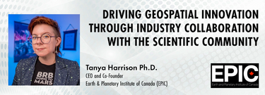
- Driving Geospatial Innovation through Industry Collaboration with the Scientific Community Ottawa Conference and Event Centre - Geospatial Leadership & AI
- 12:15 PM - 12:45 PM | 30 minutes
- The Earth observation (EO) sector has struggled to break outside its own space echo chamber to have its full potential realised for both social and...
- Talk
2:00 PM
2:00 PM
- The new topologies of geospatial service delivery Ottawa Conference and Event Centre - Geospatial Leadership & AI
- 2:00 PM - 2:30 PM | 30 minutes
- In the rapidly evolving geospatial industry, modern advancement...
- Talk

2:30 PM
2:30 PM
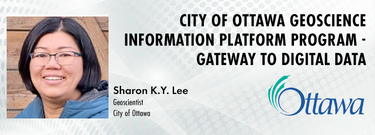
- City of Ottawa Geoscience Information Platform Program - Gateway to Digital Data Ottawa Conference and Event Centre - Geospatial Leadership & AI
- 2:30 PM - 3:00 PM | 30 minutes
- The City of Ottawa (City) annually invests about $3M in studies of the local subsurface geotechnical, hydrogeological, and environmental conditions...
- Talk
3:00 PM
3:00 PM
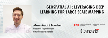
- Geospatial AI : Leveraging Deep Learning for large scale mapping Ottawa Conference and Event Centre - Geospatial Leadership & AI
- 3:00 PM - 3:30 PM | 30 minutes
- Canada is big, really big! Mapping the whole country took us over 100 years to complete. Through the years, the techniques used to map Canada's fea...
- Talk
