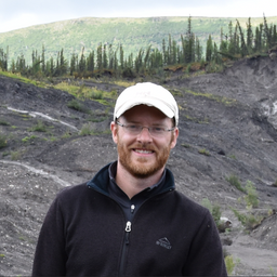
Mr. Jurjen van der Sluijs
Mr. van der Sluijs is an Unmanned Aircraft Systems (UAS) Coordinator with the NWT Centre for Geomatics (Government of NWT). He has over 10 years of experience in the field of remote sensing where he develops geomatics applications for monitoring permafrost, infrastructure, natural resource and cultural heritage sites. Jurjen leads the GNWT’s multi-departmental UAS/Drone Program wherein he manages the provision of geomatics field data acquisition and processing services and participates in original remote sensing research projects using various data sources (drone photogrammetry, LiDAR, multi-temporal satellite imagery). Jurjen has conducted missions using various drone platforms across a wide range of northern environments for numerous collaborators, including research organizations and Indigenous stakeholders.