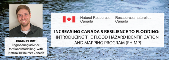
Increasing Canada’s resilience to flooding: Introducing the Flood Hazard Identification and Mapping Program (FHIMP) with Brian Perry, engineering advisor for flood modelling with Natural Resources Canada

My Session Status
In Budget 2021, the government tabled a recovery plan for jobs, growth, and resilience. Within the budget were specific investments to promoting a healthy environment for a healthy economy, with $145.5 million dedicated to supporting initiatives that will increase resiliency to the natural hazards of wildfires and floods, which are becoming more frequent, severe, and devastating due to climate change and urban development.
Flood hazard maps are essential to understanding a community’s flood risk. In Canada, many flood maps are not available or up-to-date. High quality flood mapping that is current and accessible will help governments, communities, and individuals understand flood risks and employ effective mitigation strategies to reduce the impacts of flooding. Natural Resources Canada will provide an update on Canada’s Centre for Mapping and Earth Observation’s current flood mapping activities. Of particular interest, they will share new information about the launch of our Flood Hazard Identification and Mapping Program (FHIMP), a joint initiative led by NRCan and supported by both Public Safety and Environment and Climate Change Canada. This program aims to produce flood hazard data and maps for high priority areas across the country by collaborating with provincial and territorial jurisdictions to deliver mapping products that will be accessible to all Canadians.
