Mihir Gajjar
Sessions auxquelles Mihir Gajjar assiste
Mercredi 22 Juillet, 2020
Presented by: Jake Dickinson & John Roos Abstract: As shrinking polar ice creates new opportunities for resource exploration and shipping routes, the importance for Arctic nations to monitor the ongoing expansion in the Arctic is ever increasing. Additionally, climate change continues to impact people and the environment. High resolution satellite imagery remains one of the most effective means of monitoring inaccessible and de...
Strategic Geospatial for a Complex WorldWhere humans move and landscapes change there is value. That’s geospatial. This talk is about how to think strategically about geospatial technology in an increasingly complex world.In particular, we will focus on canada’s strengths, and how we might inject novel geospatial technology into new markets
Geospatial and location technologies is present and continues to expand its reach in many sectors. Much of the current digital transformation taking place globally is built upon geospatial foundations. In this open panel discussion, our experts will discuss the latest developments and challenges facing the Canadian and global geospatial sector and what the future holds. Key components to be addressed include how has the global pandemic affected our sector and how may we be impacted in the...
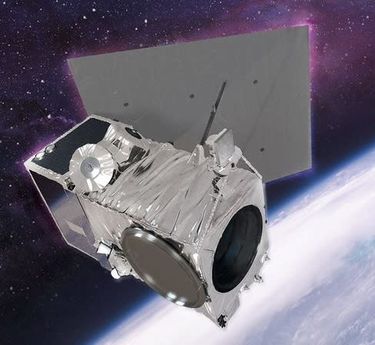
Our next-generation Earth imaging constellation will change everything. We're not just launching more satellites. In 2021, we will deploy WorldView Legion which will provide unprecedented visibility into our changing planet to solve the biggest challenges facing our world today. Grab your favorite beverage and join Maxar for a casual conversation about our next constellation, Legion! Everyone who joins will be entered for a chance to win an IPad!
Jeudi 23 Juillet, 2020
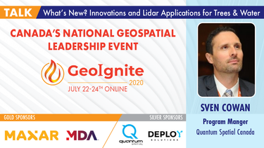
A closer look at some of the lidar-derived innovations for enhanced forestry management solutions and topobathymetric flood mitigation from Quantum Spatial Canada. Presented by Sven Cowan, Dr. Andrew Brenner, and Colin Cooper. Quantum Spatial, Inc., an NV5 company, is one of North America's largest geospatial services firms, providing insights to organizations that need geospatial intelligence to mitigate risk, plan for growth, better manage resources and advance scientific ...
A new era of human experience is upon us. The current disruption brought by the COVID-19 crisis has thrust us from a mere “digital transformation” into a new digital reality.The COVID-19 crisis is rapidly reshaping the "what" and "how" of digital transformation agendas. Through leveraging IoT, Big Data, blockchain, AI, location intelligence, etc., organizations are improving their operations and business decisions.We reached a turning point in ...
Vendredi 24 Juillet, 2020
We are living through a transformative time, not least in the space industry. A graph of upcoming satellite launches looks like a hockey stick – soon there will be orders of magnitude leading to more satellites being launched and more downstream data being generated from space than ever before. The question is, what is the most effective means of ensuring that space data brings tangible benefits to business operations and value to end users? In our talk we cover a satellit...
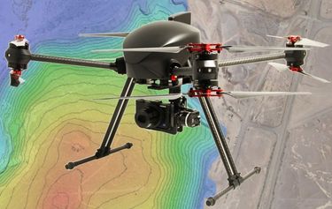
The key elements to take into account a successful implementation of drone survey with a mm accuracy are: Know your camera; Trust your measurement; Control your space; Understand your photogrammetry software. Working out that, we present this nuance including special tags around the surveyed object as the measurement system to get details.A correct implementation of photogrammetry tags with consumer grade measurement devices and consumer grade UAVs and cameras enables very precise a...
Title: DEIL experiments and outputs with open geospatial dataThe Data Exploration and Integration Lab (DEIL) at Statistics Canada has implemented a number of projects using, to the extent possible, open georeferenced data and open source tools. This presentation outlines some of this work. We will present recent developments of the Linkable Open Data Environment (LODE), examples of the use of LODE data, the development of a Proximity Measures Database and Data Viewer, and an R&amp...
Lundi 26 Avril, 2021
Les billets pour cet atelier doivent être achetés à l'avance.
