Sunil Chintalapati
Sessions auxquelles Sunil Chintalapati assiste
Lundi 26 Avril, 2021
Les billets pour cet atelier doivent être achetés à l'avance.
Mardi 27 Avril, 2021
Les billets pour cet atelier doivent être achetés à l'avance.
Les billets pour cet atelier doivent être achetés à l'avance.
Mardi 8 Mars, 2022
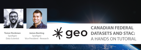
This workshop will use open tools and standards to create STAC compliant data for a Canadian Federal Dataset. The workshop will focus on the nuances of working on Canadian Data in a Cloud environment. It will further demonstrate modern geospatial data science tools to create a SpatioTemporal Asset Catalogue. Sparkgeo will also demonstrate use in leading desktop and cloud mapping software.
Mercredi 9 Mars, 2022
The Topobathymetric Lidar Solutions & Applications Workshop presented by NV5 Geospatial is designed to provide a comprehensive overview of topobathymetric lidar in a relaxed, collaborative environment to allow discussion and answer any questions. This interactive, virtual event will review our latest sensor technology, present typical project planning and execution, and provide processing insights to successfully completing and delivering ...
Join us in this training to learn about some of the latest and greatest features in ERDAS IMAGINE! With the exponentially increasing amount of data being collected in the world today, customized repeatable, batchable workflows are needed to extract as much valuable information from raw data as possible. The Spatial Modeler is the key to setting up these types of workflows. The creation of spatial models and the use of AI, machine learning and deep learning allow mo...
Vendredi 11 Mars, 2022
Please join us for the MDA-hosted workshop on multi-band SAR presented by MDA (Canada), Iceye (Finland) and VENG (Argentina). After presenting SAR fundamentals, we will dive deep into the specifications of X-band (Iceye), C-band (RADARSAT-2) and L-band (SAOCOM) missions, as well as the sensors’ merit and strength in specific applications that are of relevance to Canada. The last hour would be Q&As and discussion.


