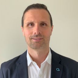
Talk: "The Geospatial Product Trap," SparkGeo's CEO - Will Cadell

My Session Status
Co:
Talk
Kiedy:
10:45, środa 21 kwi 2021
(30 min.)
Przerwy:
Break 11:15 PRZED POŁUDNIEM do 11:30 PRZED POŁUDNIEM (15 min.)
Gdzie:
Virtual session
This session is in the past.
The virtual space is closed.
Do you know what the geospatial product trap is?
We fall in love with the technology, not the problem.
I am a lucky person. My job has evolved to one where I primarily get to talk about geospatial technology all day. I could be scoping out internal or external projects or evaluating technologies. Increasingly, I provide advice on product ideas. This final situation has forced me to consider the nature of our community-of-practice. The common assumption that geospatial is somehow an independent industry is bait for the geospatial trap.
This talk will be about the geospatial trap, how easy it is to fall in, and outline some pathways to escape.
Kto bierze udział
Jude Keefe
Ivey Business School / Shared Value Solutions
Andrew Tomlinson
Osum Oil Sands
Charles Papasodoro
Natural Resources Canada (NRCan)
Christopher Li
Student
Lindsey Carter
City of Brampton
Brian Donahue
Information Services Manager - Canadian Geodetic Survey
Natural Resources Canada (NRCan)
Dennis Kao
Carleton University School of Social Work
Jody Garnett
GeoCat Canada LTD
Amanda Nunns
City of Edmonton
Bryan McIntosh
Grand River Conservation Authority
Robert Chauvette
NRCan
Craig Onafrychuk
Mapping and Geomatics Project Manager
Ontario Ministry of Natural Resources and Forestry
Danielle Meger
City of Red Deer
Sophia Swystun
Ontario Mnistry of Transportation
Iris Boettcher
City of Edmonton
12 other(s)


