Skip to main page content

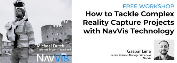
How to Tackle Complex Reality Capture Projects with NavVis Technology
Decorative image for session How to Tackle Complex Reality Capture Projects with NavVis Technology

My Session Status

Co:
Workshop
Kiedy:
11:00, środa 26 kwi 2023 (1 godz.)
Gdzie:
  Virtual session
This session is in the past.
The virtual space is closed.

Join NavVis in-house specialists Gaspar Lima, Senior Channel Manager, and Michael Dutch, Customer Success Team Lead, as they discuss how NavVis users successfully deliver complex survey projects by leveraging hybrid terrestrial and mobile laser scanning workflows. Discover how to get the best accuracy and coverage with reduced time on site and lower cost of capture.

Kto bierze udział

M V
SAIT
SAIT
Erin Grass
Senior Geomatics Engineer
Government of Alberta
Jake Anderson
OLS
Monument Urso Surveying
Mike Hogan
Segment Manager
Cansel
Johnson Chan
Technical Solutions Specialist
Esri Canada
Rhonda Connors
GIS Technologist
Government of Alberta
Krutiben Mehta
PhD Researcher
University of Ottawa
Blair Bridger
Geomatics Instructor
College of the North Atlantic
Jing Du
student
waterloo university
Breanne Simon
IT Analyst
OJ Pipelines
Bob Taylor
MANAGER GEOSPATIAL SERVICES
Lux Modus Ltd.
Daniel Hrouda
Geomatics Engineer/Geospatial Imagery Coordinator
CIty of Calgary
Tony Facciolo
President
Coding Metrology Inc.
Nayanika Sukumar
Environmental Consultant
Academic
WILLIAM CHEN
SURVEY TECHNICIAN
R. F. BINNIE & ASSOCIATES LTD.
Gail Robertson
Regional Manager Geomatics
PWGSC
Wenzheng Fan
Data Scientist
LiDARist Co. Ltd.
Mikael Bäcklund
Surveyor
Kalmar Kommun
Yasmine Abumosallam
GIS Analyst
City of Mississauga
Steffen Shaigec
Researcher
UWO
William VanAlst
Project Manager
Larsen Engineers
Kasi Ponnapalli
Self employed, Geospatial Technologist
Geovidya
VIGNESH V P
Lidar Academia
Team lead fir scholars
Alexander Lukin
GIS Specialist
Teledyne Optech
Ryan Baete
Senior Surveyor
Surveyor General Branch
Giray Akinciturk
Student
College
Mark Treiber
Product Manager
Teledyne Optech
Jérôme Gallichan-Carrier
Arpenteur-Géomètre
Can-Explore
William Xu
Student
University of Waterloo
Devon Biermann-Bosch
Survey coordinator
Cnrl
Allison Talsma
GIS Technologist
Municipality of Clarington
Eric deKemp
Geoscientist
NRCan
Ankit Sarvaiya
Geomatics Eng
Stiple Inc. & NORMAP Inc.
Sven Sorhus
GIS Analyst
ARUP
Adam Moszynski
GIS solutions analyst
Terracon Development
Billy Chan
Team Lead - Sr. Staff
TDK
Prashant Alatgi
Owner
Prashant Advanced Survey LLP
Tahir Shafiq
Principal Business Development Consultant
Self
Suli Zhang
GIS professional
MTO
Dae Lee
CTO
Consultancy
Aaron Neifer
Aerial Geomatics Technician RPAS Pilot/Advanced Operations
Terra Remote Sensing Inc
Ted MacKinnon
Senior Geomatics Technologist
Natural Resources Canada (NRCan)
adrian aguirre
survey tech
None
Joe Martin
Surveyor
PSPC
Jean-philip Giguere
director
SoluScan 3D
Michael Langley
Geomatics Lead
*

My Session Status

Send Feedback