Using Astronaut & Satellite Imagery to Compare Planetary Landforms
My Session Status
What:
Session
When:
1:45 PM, Thursday 7 Feb 2019
(1 hour 30 minutes)
Where:
Themes:
SatelliteGrades K-12
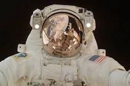
Astronauts have long been taking images of Earth. Satellite imagery is an important part of student curriculum. Students gain an understanding of geologic processes by comparing planetary bodies. Students are put the role of a scientist investigating the differences and causes of a variety of planetary bodies through satellite imagery.

