Passer au contenu de la page principale

CHORUS - Changing How and When We See the World with Wayne Hoyle, Senior Director, Business Development MDA Geointelligence

Decorative image for session CHORUS - Changing How and When We See the World with Wayne Hoyle, Senior Director, Business Development MDA Geointelligence

Mon statut pour la session

Quand:
14:30, Mercredi 2 Mar 2022 (30 minutes)
Où:
  Session virtuelle
Cette session est dans le passé.
L'espace virtuel est fermé.
Espace virtuel archivé

MDA's new multi-sensor Earth observation satellite constellation, CHORUS, will bring together multiple diverse and unique perspectives in harmony, opening the aperture and the art of the possible to provide a new level of real-time insight about our planet.

Building on the legendary RADARSAT program, CHORUS will provide the most extensive radar imaging capacity on the market. With advanced C-band and X-band Synthetic Aperture Radar, innovative new technologies and operations concepts, it will deliver enhanced and Near Real-Time capabilities including next-generation Earth observation data, imagery and analytics; tipping and cueing techniques; client-controlled priority tasking; and subscription-based services.

This presentation will introduce CHORUS and explain why it will "Change How and When We See the World".  We will demonstrate how CHORUS will be complementary to existing SAR missions and help to fill some of the gaps.  Additionally, we will show how CHORUS may open-up new use cases for SAR.
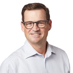
Wayne Hoyle

Conférencier.ère

Personnes inscrites

Benoit St-Onge
Presiden t
Geophoton Inc.
Sven Cowan
Canada Program Manager
NV5 Geospatial
Vivienne Wu
Manager of Business Development
MDA
Craig Bamford
Business Reporter
SpaceQ
Laurent Dezamy
Business development
None
Ron Caves
Staff Engineer
MDA
Matthew Ladd
Ecosystems Research Analyst
Statistics Canada
Vernon Singhroy
President
EOSPATIAL Inc
Eric Wertz
Senior Sales Engineer
Maxar
Sean Heeger
Reporter
GoGeomatics
Teri Anderson
Geomatics Engineer
myself
Robin Dubé
Program Officer
Canadian Space Agency
Dean Johnston
Air Photo Interpreter
Forestry Consulting
Dave MacLean
GIS Faculty
Centre of Geographic Sciences - NSCC/COGS
Mathieu Benoit
Senior Director
CCRS/CCMEO - NRCan
Mark Freund
GIS Coordinator
State
Lesley Gamble
Geomatics Solutions Lead
MDA Geointelligence

Mon statut pour la session

Évaluer