Skip to main page content

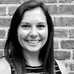
Talk: "Analyzing Canadian Communities with POI Data" Tabulae Spatial Services Principal -Juliana McMillan-Wilhoit

Decorative image for session Talk: "Analyzing Canadian Communities with POI Data" Tabulae Spatial Services Principal -Juliana McMillan-Wilhoit

My Session Status

What:
Talk
When:
13:15, الخميس 22 أبريل 2021 (30 minutes)
Breaks:
Break   01:45 مساءً to 02:00 مساءً (15 minutes)
Where:
  Virtual session
This session is in the past.
The virtual space is closed.

Applying SafeGraph’s Canadian POI data for community-level analysis in ArcGIS and Tableau

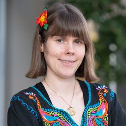
Geospatial data empowers research bodies, government agencies, and the private sector to visualize and analyze complex problems in new and innovative ways. But location data is only valuable if it is accurate - something many GIS and data analysts know all too well. Armed with accurate, precisely geocoded POI data that includes key attribution related to brands and business types, analysts can gain a deeper understanding of a community’s commercial landscape for a variety of geospatial use cases. Corresponding building footprints and aggregated foot traffic to those POIs help provide even more context for determining where to allocate resources, open a new location, or identify under-served populations. Join GIS and POI data experts Juliana McMillan-Wilhoit and Briana Brown as they walk through examples of applying SafeGraph’s Canadian POI data for community-level analysis in ArcGIS and Tableau.

Who's Attending

Mehdi A
Localintel
Peter Hearns
Director of GIS and Mapping
Government of Newfoundland and Labrador
Stéphanie Audet Brazeau
Translator
Public Services and Procurement Canada
Dianne Gray
GIS Specialist
CTQ Consultants
Robert Hamer
Geodetic Control Survey Specialist
MNRF Ontario
Joe Martin
Surveyor
PSPC
Graham Good
District of Muskoka
Dave Blaine
GIS Analyst
Northern Alberta Institute of Technology (NAIT)
Abdurrahim Hocagil
Managing Director
GEOSPRO Geographic Infomation Systems
Doug Dale-Johnson
Manager, Geomatics Policy and Governance
POGC
Jude Keefe
Ivey Business School / Shared Value Solutions
Carol Ramsey
Jacobs Engineering Group
Andrew Tomlinson
Osum Oil Sands
Colleen Fuss
GIS & Remote Senesing Specialist
Natural Resources Canada (NRCan)
Jane Ho
Proj. Eng.
Ontario Clean Water Agency
Cathie Tonkin
Greater Toronto Airports Authority
Dragos Dristaru
Geoscientist
*
Ronald Robichaud
Surveyor General Branch
Steffen Shaigec
Researcher
UWO
Connor Houston
GIS Coordinator
Province of Ontario
Alex Marshall
Production Manager
Statistics Canada
Somayeh Yavari
Geomatics Engineer
SFU
John Marshall
Business Development
Pacific Geomatics Limited
Luis Costa
Software Engineer
UFPR
1 other(s)

My Session Status

Send Feedback