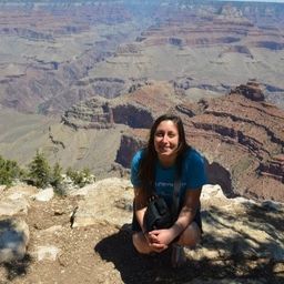
Julia Merola
As a GIS technologist, Julia is responsible for ensuring the geological spatial data that has been collected is standardized and at its highest quality. To do so, she uses file conversion methods to make sure all spatial files are in the same format and in their appropriate coordinate system. She is also responsible for data creation, manipulation and analysis as well as creating cartographic maps of mineral exploration activity in the North.
Daily, she receives requests for topographic maps overlain by other datasets. These datasets can be data collected recently or they can be public or private historical data. Both instances usually require conversion from one file type to another, conversion from one coordinate system to another and/or analysis. Once the data is in a format that can be presented on a map, she displays it on the maps requested. These maps are typically made for reports or presentations. Julia began her job in Yellowknife with the aspiration to be a part of increasing usable data collection in the North.
“There is so much of Northern Canada that hasn’t been explored. The more public data that can be available, the better it is for everyone. I am grateful to be in a position where I can be a part of that,” she said.
Sessions in which Julia Merola attends
Tuesday 27 April, 2021
Google Chrome is the preferred browser for this session.Tickets for this workshop must be claimed in advance.This session will occur from 10:00AM-11:00AM and repeat again from 11:00AM-12:00PMBeSpatial is a geospatial community platform in Ontario that has opened doors to connect, communicate and innovate. BeSpatial aims to provide networking opportunities, programs, and ...
Thursday 29 April, 2021
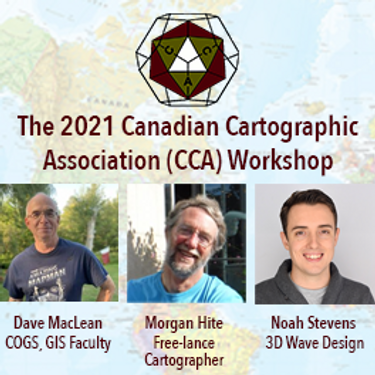
The Canadian Cartographic Association (CCA), is a National non-profit organization that helps advance geographic education in Canada through the use of mapping technology. We host annual cartography related conference and events, and promote geography awareness through scholarship and awards. CAA membership is open to anyone with an interest in any aspect of mapping. If you have a passion for maps then we encourage you to check out our website https://cca-acc....

