Sara Richard
I am a graduate of SAITs BGIS program and currently work for the Government of the NWT as a Geomatics Specialist.
I have a background in mining, however, I migrated to public service in the Geomatics Division nearly 4 years ago.
I find the GIS industry and career to be very exciting and forever evolving which feeds my desire for learning.
Sessions in which Sara Richard attends
Wednesday 21 April, 2021
Title: Advancing Space Based Observation in Canada:The GeoIgnite 2021 Directors General Geospatial Panel, part of Canada's National Geospatial Conference.Title: Advancing Space Based Observation in CanadaThis is a must attend panel for anyone interested in learning the direction Canada's Federal government geospatial leadership is taking.Join our panelists for an exploration of Canada's geospatial priorities and mission in this exciting discuss...
Thursday 22 April, 2021
For nearly 50 years, geomatics representatives from Canadian provinces and territories have collaborated together and with the federal government on geomatics initiatives. This presentation will explore why such a council came to be and why its work matters to the Canadian geomatics sector and citizens alike. While the geomatics sector and the world we live in continue to change, the need for coordination across jurisdictions remains crucial to support decision-making and response to share...
The Canadian Geodetic Survey (CGS) of Natural Resources Canada (NRCan) is responsible for defining, maintaining, and providing access to the Canadian Spatial Reference System (CSRS). The CSRS provides a consistent reference for surveying, mapping, and other applications which require accurate positioning. This presentation will describe the CGS products, tools and services which are currently available and provide access to the Canadian Spatial Reference System (CSRS). It will also take a ...
With PetaBytes of data flowing out of Low Earth Orbit everyday, the opportunity afforded by Earth Observation seems to be greater than ever. But is our community realizing that opportunity yet? Are there winners? How should we be thinking about EO businesses in the roaring 2020s?
Tuesday 27 April, 2021
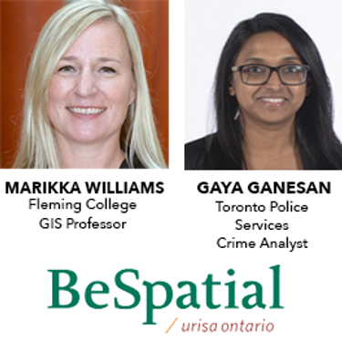
Google Chrome is the preferred browser for this session.Tickets for this workshop must be claimed in advance.This session will occur from 10:00AM-11:00AM and repeat again from 11:00AM-12:00PMBeSpatial is a geospatial community platform in Ontario that has opened doors to connect, communicate and innovate. BeSpatial aims to provide networking opportunities, programs, and ...
Wednesday 28 April, 2021
Tickets for this seminar must be claimed in advance.GeoIgnite , and Peggy March, Paul VanZant, Dr. Lynn Moorman, Dr. Gordon Osinski, Dave MacLean, Dr. Trevor Bell, Jonathan Murphy, and Ewan Geddes, all Fellows of the Royal Canadian Geographical Society www.rcgs.org, in conjunction with Canadian Geographic Education www.cgeducation.ca , invite you to this event. The purpose is to showcase and raise awareness ...
Thursday 29 April, 2021
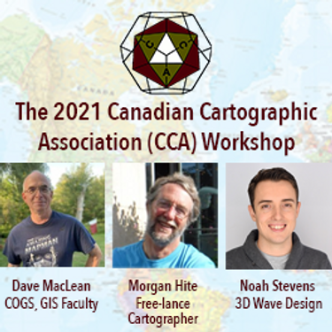
The Canadian Cartographic Association (CCA), is a National non-profit organization that helps advance geographic education in Canada through the use of mapping technology. We host annual cartography related conference and events, and promote geography awareness through scholarship and awards. CAA membership is open to anyone with an interest in any aspect of mapping. If you have a passion for maps then we encourage you to check out our website https://cca-acc....
Tickets for this workshop must be claimed in advance.This workshop will offer a deep-dive into the Avenza Maps app, a mobile app where users can upload or access custom maps for off-line navigation, way-finding, and data collection. The workshop will be composed of 5 modules covering the fundamentals of the apps usage, as well as more advanced industry-relevant features. We will also provide a walkthrough of using the Av...
Friday 30 April, 2021
Tickets for this workshop must be claimed in advance.This half-day workshop cuts through the theory and fluff to present, in practical terms, the essential practices for successful GIS project planning and management. Its intent is to provide project managers, teams, and stakeholders with the key actions methods, and tools to launch and execute successful projects --delivering results on time and on budget providing valuable...


