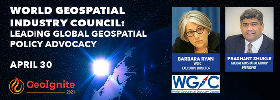
World Geospatial Industry Council: Leading global geospatial policy Advocacy

My Session Status
World Geospatial Industry Council: Leading global geospatial policy Advocacy
April 30 2021, 13:00 - 14:30 EDT
Virtual Workshop at GeoIgnite 2021: Canada's National Geospatial Conference
https://sites.grenadine.co/sites/gogeomatics/en/geoignite2021/schedule/1429/WGIC%20Workshop
About the Workshop
The World Geospatial Industry Council (WGIC) is a not-for-profit trade association of commercial geospatial companies representing the entire geospatial ecosystem value-chain. At WGIC, Members enhance the geospatial industry's role and strengthen its contribution to the world economy and society at large. WGIC Members proactively address user communities' challenges in the public, private and not-for-profit sectors, including national governments, multilateral organizations, and other industry associations.
WGIC Members drive a range of policy topics and advocacy, partnerships, and industry engagement programs. A few examples of the research studies WGIC has undertaken include — protecting personal privacy, the value of integrated GeoBIM for resilient infrastructure, Geospatial AI/ML policies and a business landscape, and new business models via Public-Private Partnerships (PPPs).
This Workshop presents to the Canadian Geospatial Community, an active global policy agenda by WGIC, with insights into our policy research work on Data Privacy, AI/ML, and PPPs.
Program Agenda
13:00 - 13:20 EDT
Introduction to WGIC and global policy advocacy for the geospatial industry.
Speaker: Barbara Ryan, Executive Director, WGIC
Presentation Time 20 minutes: 15 minutes
13:20 - 14:20 EDT
Insights into selected WGIC policy reports – 60 minutes.
13:20 - 13:40 EDT
Geospatial Information and Privacy Report
Speaker: Bart Willem Schermer, Partner, Considerati
13:40 - 14:00 EDT
Geospatial AI/ML Applications and Policies: A Global Perspective
Lokendra Chauhan, Founder, Qen Labs Inc.
14:00 - 14:20 EDT
Public-Private Geospatial Collaborations: Exploring Potential Partnership Models
Prashant Shukle, Editor, Policy Watch and Senior Strategy Advisor Public-Private Partnerships, WGIC
14:20 - 14:30 EDT
Additional Q&A and discussion

