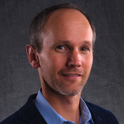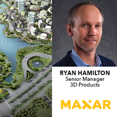
With over 20 years’ experience in geospatial data solutions, Mr. Hamilton joined Maxar in 2014 and is charged with developing the Maxar Elevation Product Suite, offering global high-resolution satellite derived elevation products.
Prior to joining Maxar, Mr. Hamilton developed products and solutions using InSAR and Lidar technologies and has an in-depth understanding of all remote sensing applications used in elevation production
Mr. Hamilton earned his BA from the University of Colorado in Boulder, CO.
Sessions auxquelles Ryan Hamilton participe
Mercredi 21 Avril, 2021
Fuseau horaire: (GMT-05:00) Eastern Time (US & Canada)
2:45 PM
2:45 PM EDT -
3:15 PM EDT |
30 minutes
Maxar construit la carte 3D la plus haute résolution et la plus précise de la planète et cet exposé fournira un aperçu des produits et des capacités qui le rendent possible.
