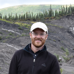
Jenny Tjhin
Sessions in which Jenny Tjhin attends
Tuesday 1 March, 2022
The landscapes in the Northwest Territories (NWT, Canada) are amongst the most rapidly changing in the world due to climate-induced permafrost thaw. This presentation provides an overview of recent remote sensing and mapping investigations of permafrost thaw landslides across different spatial and temporal scales in the NWT. A common thread of ever-expanding geospatial capabilities (remote sensing, machine learning) is juxtaposed against rapidly intensifying permafrost thaw with many growi...
Wednesday 2 March, 2022
Our planet is in flux: pandemics, climate change, inequality. This talk will explore the ideas of "planetary-scale" as it pertains to the geospatial community’s work. We will be looking at how we need planetary-scale thinking to address the planetary-scale problems we are now being challenged with. We don’t have a “Planet B", so how can geospatial technology be used to ethically approach some of the most pressing issues our species have collectively faced? &...
At a time of rising climate change impacts, there is a vital and growing need to prepare for, respond to, and recover from natural disasters. But there is a critical communication gap between authorities and citizens.Drawing on the ongoing results of our massive multi-year climate change research and development project, and with assistance from hundreds of students, citizens, academics, NGOs, government officials, and industry p...
Dr. Marshall and Keith Masback will explore climate change and what happens at the intersection of climate and the Earth’s surface.
Statistics Canada along with their partner, VertiGIS Studio (formerly Geocortex), have collaborated to update the original Census Program Data Viewer (CPDV) https://www12.statcan.gc.ca/census-recensement/2021/dp-pd/dv-vd/cpdv-vdpr/index-eng.cfm. VertiGIS Studio Web and Reporting were used to configure an advanced web-based data visualization tool, that supports the dissemination of statistical data gathered in the 2021 Canadian census. This tool will make statistical information more...
Inter-annual variability in agricultural production in Canada is largely determined by weather and climate. Climate-related impacts have caused billions of dollars in financial losses in some years, with the incidence of extreme weather and related costs expected in increase in a changing climate. The National Agroclimate Information Service at Agriculture and Agri-Food Canada monitors the impacts of weather and climate on agricultural activities using a number of geospatial data sets, mod...
Thursday 3 March, 2022
Sanjay Kumar is the founder and CEO of Geospatial Media & Communications. He also lends his time and experience to many organizations helping them to further the cause of increasing the impact of geospatial technology and its applications at a global scale.
Climate change affects everybody. Solutions will be successful when everyone can get involved. An examination of the Diversity of viewpoints, needs, wants, and must haves is vital when approaching this topic. This panel will discuss and engage each other as well at the audience.


