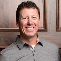
Melanie is the former Chair of the Canadian Council on Geomatics (2019-2021) and the 2023 Co-Chair of the Canadian Symposium on Remote Sensing. She holds a BSc. in Biology from Dalhousie University and two post-graduate diplomas from the Centre of Geographic Sciences in Geographic Information Systems and Applied Geomatics Research. Melanie has worked in the public service since 2001 and has held a variety of geomatics roles with Parks Canada, Aboriginal Affairs & Northern Development Canada, and the Government of the Northwest Territories (GNWT). Melanie resides in Yellowknife with her family and is the Director of the NWT Centre for Geomatics.
Sessions in which Melanie Desjardins participates
Thursday 22 April, 2021
For nearly 50 years, geomatics representatives from Canadian provinces and territories have collaborated together and with the federal government on geomatics initiatives. This presentation will explore why such a council came to be and why its work matters to the Canadian geomatics sector and citizens alike. While the geomatics sector and the world we live in continue to change, the need for coordination across jurisdictions remains crucial to support decision-making and response to share...
Friday 23 April, 2021
Join GeoIgnite for this inaugural panel of provincial and territorial geospatial and location technology leaders.We will be discussing issues surrounding: What are main priorities and challenges across jurisdictions? What types of geospatial tools we use to monitor and respond to key challenges like emergency response? How are jurisdictions aligning geospatial tools, data, and people to address climate change? What are some current data...
Sessions in which Melanie Desjardins attends
Wednesday 21 April, 2021
Over the past year, Minerva Intelligence, a Vancouver-based cognitive AI company, has been awarded two contracts with Natural Resources Canada to design schemas at a national level: the National Flood Hazard Data Layer (NFHDL) and the National Hydro Network V2 (NHNv2). You might be asking yourself why an AI company is designing and building these important database structures. Minerva's cognitive AI system makes use of semantically inoperable data in knowledge graphs and has designed syste...
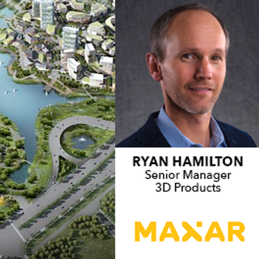
Maxar is building the highest resolution and most accurate 3D map of the planet and this talk will provide an overview of the products and capabilities that are making it possible.
Thursday 22 April, 2021
In this presentation, Dr. Walter Scott will compare the satellite imaging constellations of Maxar and other commercial companies to show how they stack up in three key metrics: product-market fit, adaptability and capital efficiency. He will also share some key insights on the next generation of Earth Intelligence arriving in 2021 with the launch of WorldView Legion, and what impact that will have for the Canadian geospatial market in the months and years ahead.
Friday 23 April, 2021
Presentation of Awards and Concluding Announcements.
Thursday 29 April, 2021
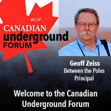
Awareness of the human and economic cost of not knowing the location of underground utilities and other infrastructure has grown dramatically in the last few years. At this forum we will hear from leaders of relatively new companies or startups that are providing technology that has begun to seriously impact our ability to detect, record and share accurate location data about underground infrastructure. We will also hear about the latest developments in standards including the latest ASCE ...
Moderator: Prashant ShuklePresenters: Rob Martindale, Olive Powell, DND, PSPC


