Timi Ojo
Sessions in which Timi Ojo attends
Tuesday 1 March, 2022
"GHG Monitoring from Space: A mapping of capabilities across public, private and hybrid missions" was a collaborative effort undertaken by the Group on Earth Observations (GEO), WattTime, and the World Geospatial Industry Council (WGIC).This report, presented at the United Nations Framework Convention on Climate Change (UNFCCC) Earth Information Day at the 26th session of the Conference of the Parties (COP 26), was the first syst...
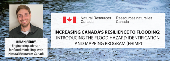
In Budget 2021, the government tabled a recovery plan for jobs, growth, and resilience. Within the budget were specific investments to promoting a healthy environment for a healthy economy, with $145.5 million dedicated to supporting initiatives that will increase resiliency to the natural hazards of wildfires and floods, which are becoming more frequent, severe, and devastating due to climate change and urban development. Flood hazard maps are essential to un...
Planet's constellation of satellites capture the whole of Earth's landmass every day. This unprecedented dataset provides insights to the agricultural sector, helping farmers and the companies that serve them make informed, timely decisions. But translating that data into insights isn’t always straightforward. In this session, Greg Crutsinger will go over the fundamental ways space observation is serving agricultural customers and present new applications in satellite data - everything fro...
Thursday 3 March, 2022
Sree, the CEO of NeoGeoInfo will give a brief introduction of the organization along with our focus on 3D Data, Sub Surface Utility Detection (GPR surveys). NeoGeoInfo had been continuously investing in latest data acquisition techniques and equipment. Our proficiency in Data Processing using DL/ ML or other Cognitive technologies is unmatched. We adopt to the customer technology stacks and provide the best solution possible for application development. Sree will announce NeoGeoInfo' plans...
Tuesday 8 March, 2022
Maxar’s WeatherDesk is a mature product platform that has continually evolved to satisfy changing customer requirements. It sets the standard for reliable and accurate weather forecasting through sound attention to science, an intense focus on customer service including 24/7 meteorological and operational support, and optimally solving customer problems. WeatherDesk products elegantly translate weather data into insights and actionable intelligen...
The Integrated Cadastral Information Society (ICI Society) is a leader in sharing geospatial information, promoting the integration, adoption, and use of spatial data for the social and economic benefit of British Columbians. In addition to data sharing, ICI Society works to facilitate opportunities for training, education, and collaboration across government, industry, and other interested organizations. Incorporated in May 2001 and registered under the BC Societies Act as a ...
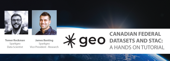
This workshop will use open tools and standards to create STAC compliant data for a Canadian Federal Dataset. The workshop will focus on the nuances of working on Canadian Data in a Cloud environment. It will further demonstrate modern geospatial data science tools to create a SpatioTemporal Asset Catalogue. Sparkgeo will also demonstrate use in leading desktop and cloud mapping software.
Wednesday 9 March, 2022
The Topobathymetric Lidar Solutions & Applications Workshop presented by NV5 Geospatial is designed to provide a comprehensive overview of topobathymetric lidar in a relaxed, collaborative environment to allow discussion and answer any questions. This interactive, virtual event will review our latest sensor technology, present typical project planning and execution, and provide processing insights to successfully completing and delivering ...
Join us in this training to learn about some of the latest and greatest features in ERDAS IMAGINE! With the exponentially increasing amount of data being collected in the world today, customized repeatable, batchable workflows are needed to extract as much valuable information from raw data as possible. The Spatial Modeler is the key to setting up these types of workflows. The creation of spatial models and the use of AI, machine learning and deep learning allow mo...
Thursday 10 March, 2022
Taking urgent action to combat climate change and its impacts" is a crucial goal set forward under Goal 13 – Climate Action as part of the United Nations Sustainable Development Goals (SDGs).Climate action requires global efforts related to climate change mitigation – reducing the flow of heat-trapping greenhouse gases into the atmosphere, or enhancing the "sinks" that accu...
Friday 11 March, 2022
Please join us for the MDA-hosted workshop on multi-band SAR presented by MDA (Canada), Iceye (Finland) and VENG (Argentina). After presenting SAR fundamentals, we will dive deep into the specifications of X-band (Iceye), C-band (RADARSAT-2) and L-band (SAOCOM) missions, as well as the sensors’ merit and strength in specific applications that are of relevance to Canada. The last hour would be Q&As and discussion.
At a time of rising climate change impacts, there is a vital and growing need to prepare for, respond to, and recover from natural disasters. But there is a critical communication gap between authorities, citizens, and communities. Drawing on the ongoing results of our massive multi-year climate change research project, and with assistance from hundreds of students, citizens, academics, NGOs, government officials, and industry partners, Deploy Solutions has identif...


