
GoGeomatics Canada
Sessions in which GoGeomatics Canada attends
Monday 26 April, 2021

Tickets for this workshop must be claimed in advance.Join Maxar Product Manager, Jake Dickinson, to learn first-hand how SecureWatch provides commercial and government organizations access to authoritative geospatial information to make decisions and act with confidence. Satellite imagery is foundational to geospatial workflows because it enables analysts to understand and model the locations and characteristics of land, facilities and equipment. But histori...


PLEASE NOTE THE PREFERRED BROWSER IS GOOGLE CHROME. If you are running into any issues accessing the session, please try logging in via Google Chrome.The use of drones or UAVs has expanded dramatically over the last few years and this technology is rapidly permeating a wide variety of professional disciplines and industries, including the broad field of GIS. Ideally suited for on-demand geospatial data collection, drones can effectively eliminate the logjam tha...

Wednesday 28 April, 2021

Tickets for this workshop must be claimed in advance.At a time of rising climate change impacts, there is a vital and growing need to prepare for, respond to, and recover from natural disasters. But there is a critical communication gap between authorities and citizens.Drawing on the ongoing results of our massive multi-year climate change R&D project, and with assistance from hundreds of students, citizens...


Tickets for this seminar must be claimed in advance.GeoIgnite , and Peggy March, Paul VanZant, Dr. Lynn Moorman, Dr. Gordon Osinski, Dave MacLean, Dr. Trevor Bell, Jonathan Murphy, and Ewan Geddes, all Fellows of the Royal Canadian Geographical Society www.rcgs.org, in conjunction with Canadian Geographic Education www.cgeducation.ca , invite you to this event. The purpose is to showcase and raise awareness ...


Tickets for this workshop must be claimed in advance.The use of drones, officially referred to as Remotely Piloted Aerial Systems (RPAS), has been forecasted to play a key role in the digitalization and further optimization of a variety of geomatics applications such as in resource aggregates management, landfill management, civil engineering (3D reality capture, virtual surveying), and precision agriculture. To help realize this forecast it is important for ...


Thursday 29 April, 2021

Tickets for this workshop must be claimed in advance.This workshop will offer a deep-dive into the Avenza Maps app, a mobile app where users can upload or access custom maps for off-line navigation, way-finding, and data collection. The workshop will be composed of 5 modules covering the fundamentals of the apps usage, as well as more advanced industry-relevant features. We will also provide a walkthrough of using the Av...


Friday 30 April, 2021
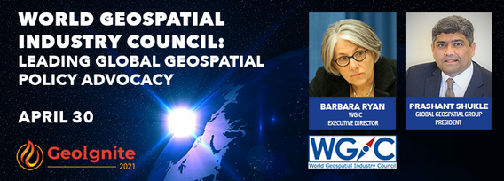
World Geospatial Industry Council: Leading global geospatial policy AdvocacyApril 30 2021, 13:00 - 14:30 EDTVirtual Workshop at GeoIgnite 2021: Canada's National Geospatial Conferencehttps://sites.grenadine.co/sites/goge...

