
Prashant has worked in the public, private and not-for-profit sectors in a variety of roles and sectors. In the past decade, he provided the vision and worked to establish the Canada Centre for Mapping and Earth Observation and then managed all aspects of its operations as its first Director-General. He also led CCMEO through deep reductions in the early 2010s and then led its renewal and subsequent large scale successes in delivering the highly successful Federal Geospatial Platform (GeoDiscovery); the science and satellite renewal elements of the 2019 Radarsat Constellation Mission; and after two years of consultation and negotiation, the launch of Canada's Flood Hazard Information Mapping Program.
Since 2019, he has been working with a variety of private sector companies where is an investor and he continues to advise Canadian geospatial and space startups. He is the Board Chair of the Open Geospatial Consortium; a Board Member of Building Smart Canada, and Ottawa's Dave Smith Youth Treatment Centre.
Sessions auxquelles Prashant Shukle participe
Jeudi 29 Avril, 2021

Moderator: Prashant ShuklePresenters: Rob Martindale, Olive Powell, DND, PSPC


Vendredi 30 Avril, 2021
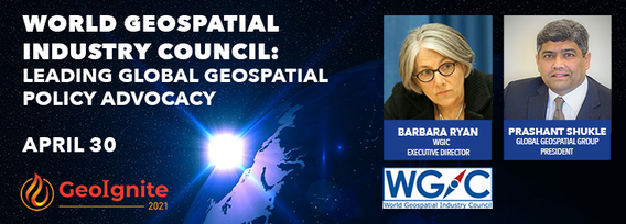
World Geospatial Industry Council: Leading global geospatial policy AdvocacyApril 30 2021, 13:00 - 14:30 EDTVirtual Workshop at GeoIgnite 2021: Canada's National Geospatial Conferencehttps://sites.grenadine.co/sites/goge...

Sessions auxquelles Prashant Shukle assiste
Vendredi 23 Avril, 2021

oignez-vous à GeoIgnite pour ce premier panel de chefs de file provinciaux et territoriaux de la géospatiale et des technologies de localisation. Nous discuterons des problèmes entourant: Quelles sont les principales priorités et défis à travers les juridictions?Quels types d'outils géospatiaux utilisons-nous pour surveiller et répondre à des défis clés tels que les interventions d'urgence?Comment les juridictions harmonisent-elle...


Lundi 26 Avril, 2021

Les billets pour cet atelier doivent être achetés à l'avance.


PLEASE NOTE THE PREFERRED BROWSER IS GOOGLE CHROME. If you are running into any issues accessing the session, please try logging in via Google Chrome.The use of drones or UAVs has expanded dramatically over the last few years and this technology is rapidly permeating a wide variety of professional disciplines and industries, including the broad field of GIS. Ideally suited for on-demand geospatial data collection, drones can effectively eliminate the logjam tha...

Mercredi 28 Avril, 2021

Les billets pour cet atelier doivent être achetés à l'avance.


Les billets pour cet atelier doivent être achetés à l'avance.


Jeudi 29 Avril, 2021
During the past 30 years the Damage prevention and Utility Engineering industry has grown and developed into what it is today. The industry has slowly grown year after year and has gained acceptance as a best practice with 811 laws in the US and in Ontario the Call Before you dig legislation Bill 8 a precedent setting event in Canada. We now look at how best to modernize the systems and leverage technology to elevate the 2 industries damage prevention and Utility Engineering. The te...
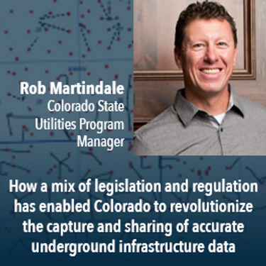
Mapping the Colorado Underground: Colorado is proactively using a 2018 One Call law and new procedures to reduce underground utility hits, which in the US exceed 50,000 annually. The law requires higher accuracy One Call utility locates (Level B). The presentation will describe: 1) including higher accuracy utility locations on contractor bidding documents, 2) installing electronically locatable devices on new utilities, 3) the impact on unde...
A look at the subsurface infrastructure that is far greater in size than the surface transportation systems. This other infrastructure is just as critical to our economy by providing the utilities that we take for granted.. This buried infrastructure is aging, becoming dilapidated and desperately in need of repair and replacement. It is what lies beneath our roads and railways systems and comprises our utility and pipeline systems. ProStar’s CEO and Founder Page Tucker will look at this va...


UEVO is a Digital Twin of city subsurface infrastructure, which helps solve the problem of managing aging, complex infrastructure under increasingly strained budgets. UEVO unifies fragmented data to enable multiple stakeholders to visualise, manipulate and create subsurface elements quickly and easily, collaborating in real time.


Moderator: Prashant ShuklePresenters: Rob Martindale, Olive Powell, DND, PSPC